About this place
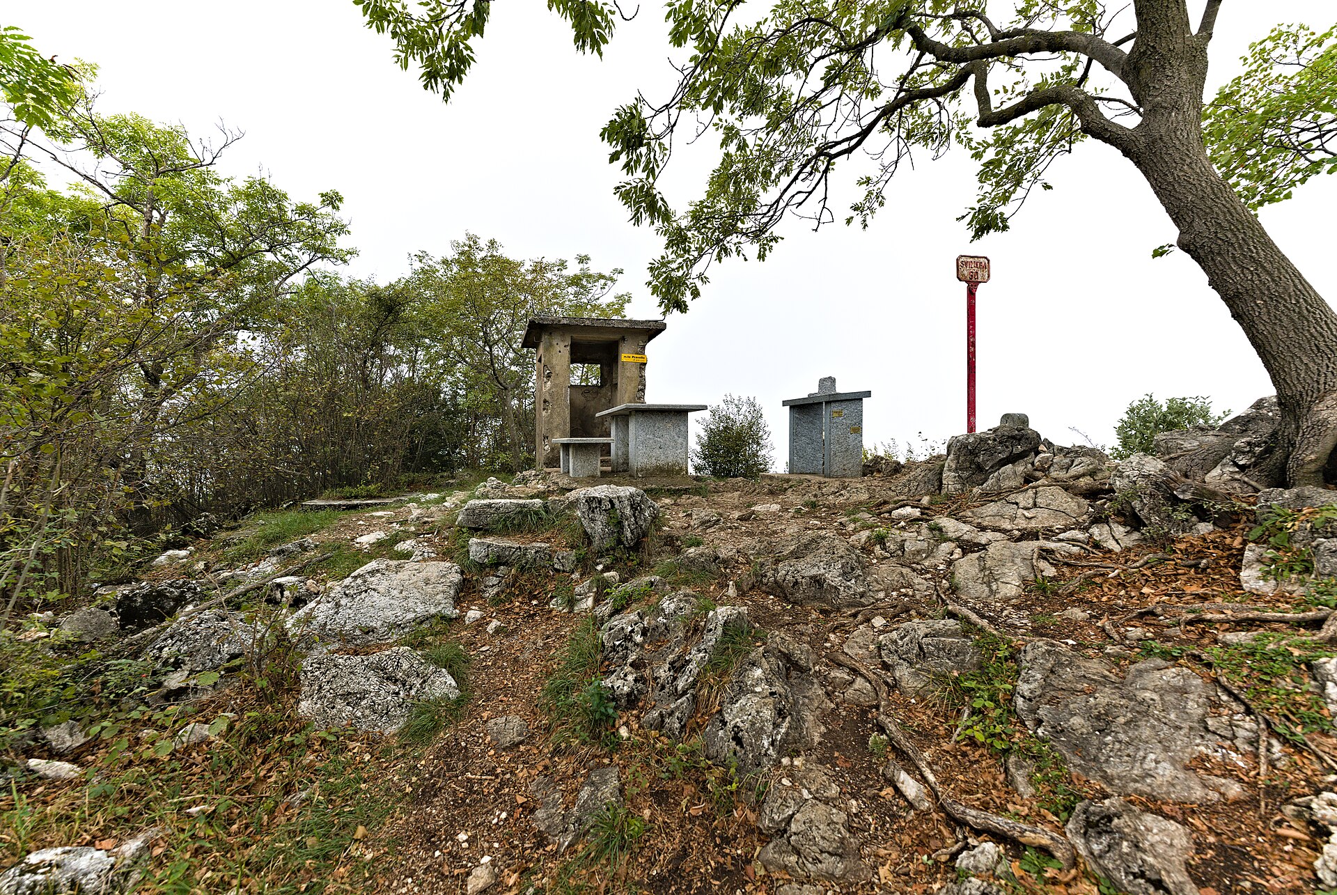
Cima di Fojorina rises right on the border between Italy and Switzerland, in the Lugano Prealps, within view of Valsolda on Lake Lugano's eastern shore. The ridge it sits on marks a genuine watershed: on one side it drops toward Val Colla in Swiss Ticino, on the other it slopes down toward the lake — a contrast that makes the summit an appealing goal for hikers looking for wide views away from the region's busier peaks.
How do you get to Cima di Fojorina?
The mountain sits at a crossroads of trails reachable from both sides of the border — from Valsolda in Italy or from Val Colla in Switzerland. It lies along route 52, the "Sentiero del Lago di Lugano," and also along the longer "Scenic Trail," a ridge-top path that runs high above the lake. At the saddle just below the summit stands a distinctive yellow double-pointed signpost giving directions and walking times in several directions at once: to Capanna Pairolo via Cima dell'Oress (about an hour), to Cimadera via Mosè (about an hour and 50 minutes), to Bocchetta di San Bernardo (20 minutes), to Capanna San Lucio (an hour and 10 minutes), and to Bogno (2 hours 10 minutes). That junction makes Cima di Fojorina work well as a waypoint on a longer ridge traverse, not just as a destination in itself.
What will you see at the top?
Standing on the divide between two countries and two watersheds — Val Colla and Lake Lugano — gives views in two quite different directions: a rougher, more alpine Ticino landscape on one flank, and the blue of the lake framed by wooded slopes on the other. That double perspective is the summit's real draw, more than its height or the difficulty of getting there. For visitors based in Valsolda, it makes a natural day-trip target, pairing an active outing with a vantage point over scenery normally seen only from the shoreline.
When should you visit?
Late spring through early autumn is the best window, when the ridge trails are dry and well-trodden and visibility favors the panorama on both sides of the border. Early morning or late afternoon light works particularly well on the slopes facing the lake, which landscape photographers will appreciate. In winter and early spring the route can get technically trickier, with dampness and possible icing on the higher stretches of trail.
Frequently asked questions
Is Cima di Fojorina a difficult summit to reach? No climbing skills are needed — access is on hiking trails that converge at a saddle below the top, from which further paths branch off in several directions.
Should you start the hike from the Italian or the Swiss side? Trails approach from both sides of the border, and the choice mostly comes down to where you're staying — from Valsolda the approach ties directly into the lake panorama, while from Val Colla the route feels more distinctly mountainous.
How long does it take to reach the nearest mountain huts? From the saddle below the summit it's roughly an hour to Capanna Pairolo, just over an hour to Capanna San Lucio, and about two hours ten minutes down to the village of Bogno.
Is the route well marked? Yes — it follows the official route 52, the "Sentiero del Lago di Lugano," as well as the broader "Scenic Trail," and the trail junctions are marked with signposts giving walking times.
Nearby places

Earn badges for the places you visit
Download NextOnTrip, discover new places and check off your trails.