About this place
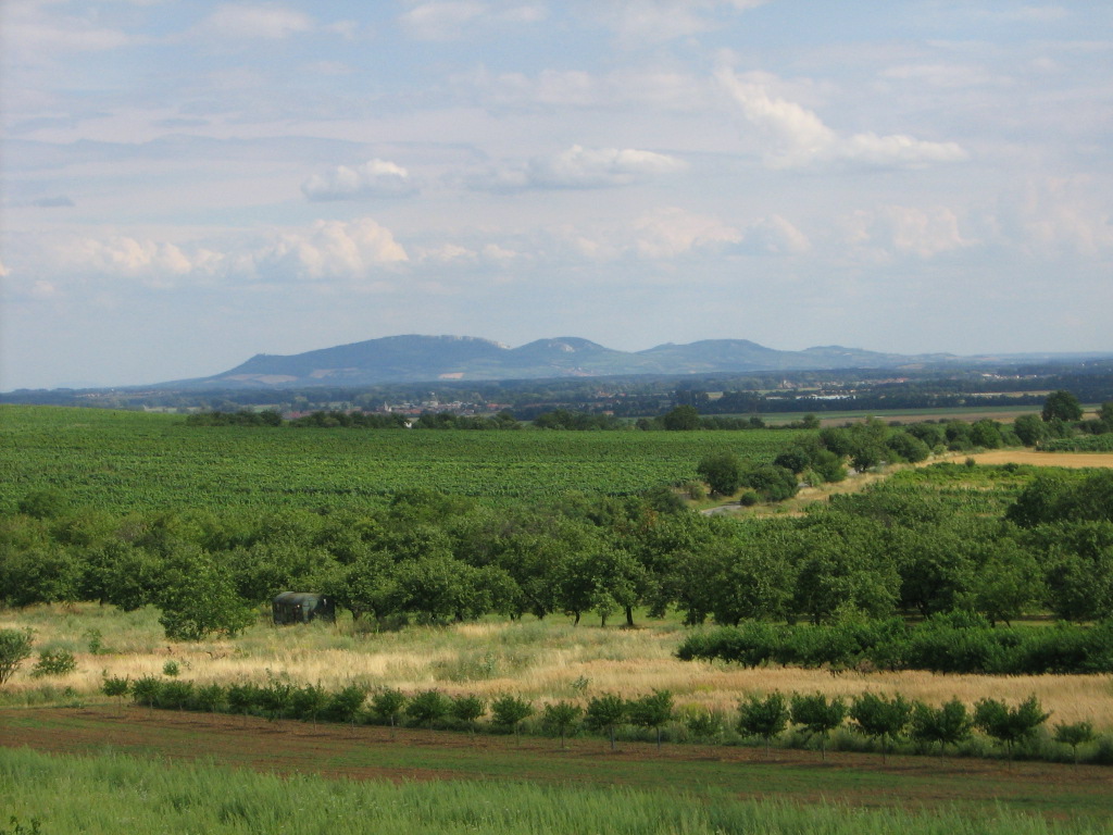
Chráněná krajinná oblast Pálava is a protected landscape area in the Czech Republic, located in the South Moravian Region near the town of Břeclav. It stretches along the high, southern bank of the lower Dyje river, at the point where the terrain forms the north-western spur of the Pannonian Basin. This geographic junction — where an elevated landscape meets a lowland river valley — is what sets the area apart among protected landscapes in Central Europe.
When was the protected area established?
The Pálava Protected Landscape Area was declared on 19 March 1976. Since then it has covered a territory of 83.0 km², making it a comparatively compact but ecologically significant part of southern Moravia. The boundaries were drawn to include both the elevated ground above the Dyje and the river's course along this stretch.
Why does Pálava hold biosphere reserve status?
Since 1986 the area has held biosphere reserve status, a designation given to territories of particular importance for balancing nature conservation with human activity. Pálava's inclusion in the biosphere reserve network confirms that the area is regarded as significant beyond a purely local scale — a reference point within a wider, international framework of landscape protection.
What does the Ramsar Convention protect here?
A further layer of protection followed in 1993, when the wetlands of the lower Dyje within Pálava were placed under the Ramsar Convention. This convention concerns wetlands of international importance, primarily as habitats for waterfowl. Its application to this stretch of the Dyje valley highlights the role this section of the river plays as an environment for water and marsh birds, alongside the other protections already in force across the wider landscape area.
Where exactly is Pálava located?
The area lies near the town of Břeclav in the South Moravian Region, close to the Czech Republic's border with Austria. The approximate coordinates of the area's central point are 48.832°N, 16.674°E. Sitting at the meeting point of the elevated spur of the Pannonian Basin and the lower Dyje valley, Pálava's landscape stands out clearly from the typical terrain of southern Moravia — a distinctiveness that was among the reasons the area was placed under protection back in the 1970s.
Frequently asked questions
When was Chráněná krajinná oblast Pálava established? The protected landscape area was declared on 19 March 1976.
How large is the area? It covers 83.0 km².
Since when has Pálava been a biosphere reserve? It has held biosphere reserve status since 1986.
What does the Ramsar protection here cover? Since 1993 the Ramsar Convention has protected the wetlands of the lower Dyje within Pálava, safeguarding habitats for water and marsh birds.
Where is Pálava located? In the South Moravian Region of the Czech Republic, near Břeclav, on the southern bank of the lower Dyje, at the north-western spur of the Pannonian Basin.
Nearby places

Earn badges for the places you visit
Download NextOnTrip, discover new places and check off your trails.