About this place
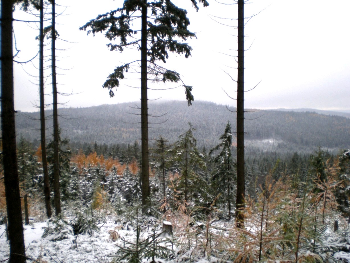
Chocholatá skála is a modest but distinctive rock formation in the Brdy hills, located within the municipality of Strašice in the Czech Republic. It sits at the northern foot of the Kočka hill, at the point where the Padrťský valley opens into the Třítrubecký valley — a junction that makes the rock a useful landmark for anyone hiking through this stretch of the Brdy range.
What is the rock made of?
Chocholatá skála is built from Cambrian conglomerate, one of the oldest sedimentary rock types found in the Brdy region. Unlike many other rock formations nearby, where weathering tends to break the stone into large slabs or blocks, here the process works differently: the conglomerate disintegrates into individual pebbles rather than sizeable rock chunks. The result is a rough, crumbling-looking surface that sets Chocholatá skála apart from the smoother, more monolithic sandstone outcrops found elsewhere in the Czech Republic.
How tall is the formation?
The rock reaches a height of at least 10 meters, which is substantial by the standards of Brdy outcrops — enough for it to stand out clearly against the surrounding forest and hillside. It is often described as a rock ruin, meaning it isn't a single solid wall but rather a broken-up, jagged cluster of rock elements, resembling the remnants of a once-larger structure.
Why is this site geologically notable?
The Brdy region has a complex geological history, with Cambrian sedimentary rocks exposed in numerous, often small outcrops scattered across the hills. Chocholatá skála is a good illustration of how these ancient conglomerate deposits respond to present-day weathering. Its tendency to break apart into loose pebbles instead of blocks points to the specific cohesion (or lack of it) within the rock material, a detail that draws the attention of anyone interested in the region's geomorphology.
Where exactly is Chocholatá skála located?
The formation lies within the Strašice municipality, in the heart of the Brdy range — a forested area historically used mainly as a military training ground and now partly opened up as a protected landscape area for hikers. Its approximate coordinates are 49.70° N, 13.79° E. Because it sits at the base of Kočka hill, the rock also functions as a natural reference point when planning routes connecting the Padrťský valley with the Třítrubecký valley.
Frequently asked questions
Is Chocholatá skála accessible to visitors? It lies within the Brdy hills, an area with a network of hiking trails, but because part of the region was formerly used for military purposes and may still carry access restrictions, it's worth checking current trail markings and any closed zones before setting out.
What makes it different from other Brdy rocks? Its defining trait is the way it weathers — crumbling into individual pebbles rather than larger blocks, a pattern less commonly seen among the region's rock outcrops.
Is it a large formation? At roughly 10 meters or more in height, it counts as a mid-sized formation by regional standards — tall enough to be a clear landmark, though not among the largest rock ruins in the Czech Republic.
What type of rock forms it? Cambrian conglomerate, one of the oldest sedimentary rock types present in this part of the Czech Republic.
Nearby places

Earn badges for the places you visit
Download NextOnTrip, discover new places and check off your trails.