Save this place and discover nearby attractions with NextOnTrip
In the app you can add it to your favorites, see what else is worth visiting nearby on the map, and earn a badge for your visit.
The app is available for iPhone and Android.
About this place
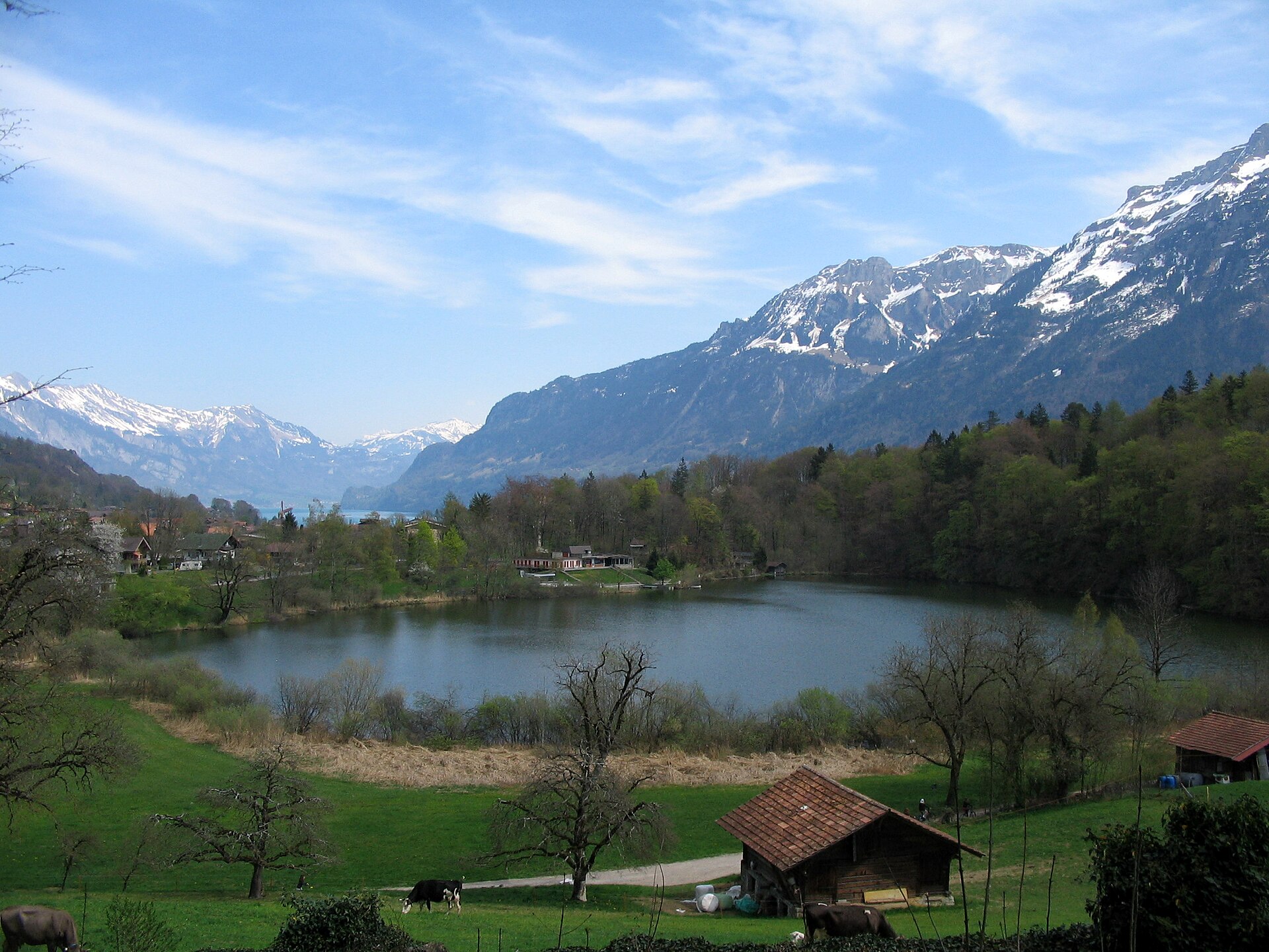
Bire is a rocky promontory above Beatenberg in the Bernese Oberland, at the eastern end of the village just over the hamlet of Waldegg. From its small stone platform you look down on Lake Thun and across to the high peaks of the Bernese Alps. The name comes from the local dialect word for "pear", and the cliff band under the summit is known as the Bireflue.
Where is Bire?
It lies in the Interlaken-Oberhasli district of the canton of Bern, at roughly 46.707 N, 7.803 E. Beatenberg sits on a sunny terrace high above the north shore of Lake Thun, around 1,150 m above sea level. The nearest big summit is the Niederhorn (1,963 m).
How do you get to Bire?
The simplest start is Beatenberg itself. The path runs through the Spirenwald forest, and near point 1325 you walk right beneath the huge rock bands of the Bireflue. The last stretch to the top is a steep staircase. The Beatenberg sun-terrace walk peaks at 1,352 m, and the operator lists it at about 10.7 km, though hikers who add a descent report closer to 15 km.
The alternative is to come from above. Ride the lifts from Beatenbucht to the Niederhorn, follow the ridge to the Oberburgfeld pasture (about 1,830 m), pass Unterburgfeld and continue to Bire. That route covers around 9 km, about three hours of walking, with more than 1,000 m of total climbing according to the "Die unbekannte Bireflue" tour description. Buses back leave from the Beatenberg Wydi stop.
By public transport, take the train to Thun, a bus to Beatenbucht, then the funicular and gondola up to the Niederhorn. Check operating dates with the lift company, since the gondola has recently been out of service.
What will you see?
A few benches sit on the small rock platform. The outlook takes in Lake Thun and the Bernese high Alps. On the way down from the Niederhorn you also get views into the Justistal valley, and in July and August the Oberburgfeld alp may serve food.
Is the hike difficult?
Some paths hug the rock wall, so you need sure footing and a head for heights. Pick a dry day, because wet rock and forest trails turn slippery. Wear proper hiking boots and carry water.
When should you go?
Aim for the snow-free months, late spring to autumn, with settled weather and good visibility. Mornings give the best chance of clear air over the lake.
Frequently asked questions
Is Bire a mountain summit? It is better described as a rock spur with a viewpoint above Beatenberg than a standalone alpine peak.
How long is the walk from the Niederhorn? Around three hours over about 9 km.
Is there a mountain hut? Not on the spur itself. In July and August you can eat at the Oberburgfeld alp along the route from the Niederhorn.
Is it a beginner trail? Not entirely. Sections along the rock face need steady footing and tolerance of exposure.
Nearby places

Earn badges for the places you visit
Download NextOnTrip, discover new places and check off your trails.