About this place
Sierra de Baza Natural Park is one of the larger protected areas in Granada province, stretching to the northeast of the town of Baza, right on the border with Almería province. It covers more than 53,000 hectares and forms part of the Cordillera Penibética, the mountain backbone running through southern Spain. The park has belonged to the Network of Protected Natural Areas of Andalusia (RENPA) since 1989, when it was designated as a natural park to safeguard its mountain environment.
What does the landscape of Sierra de Baza look like?
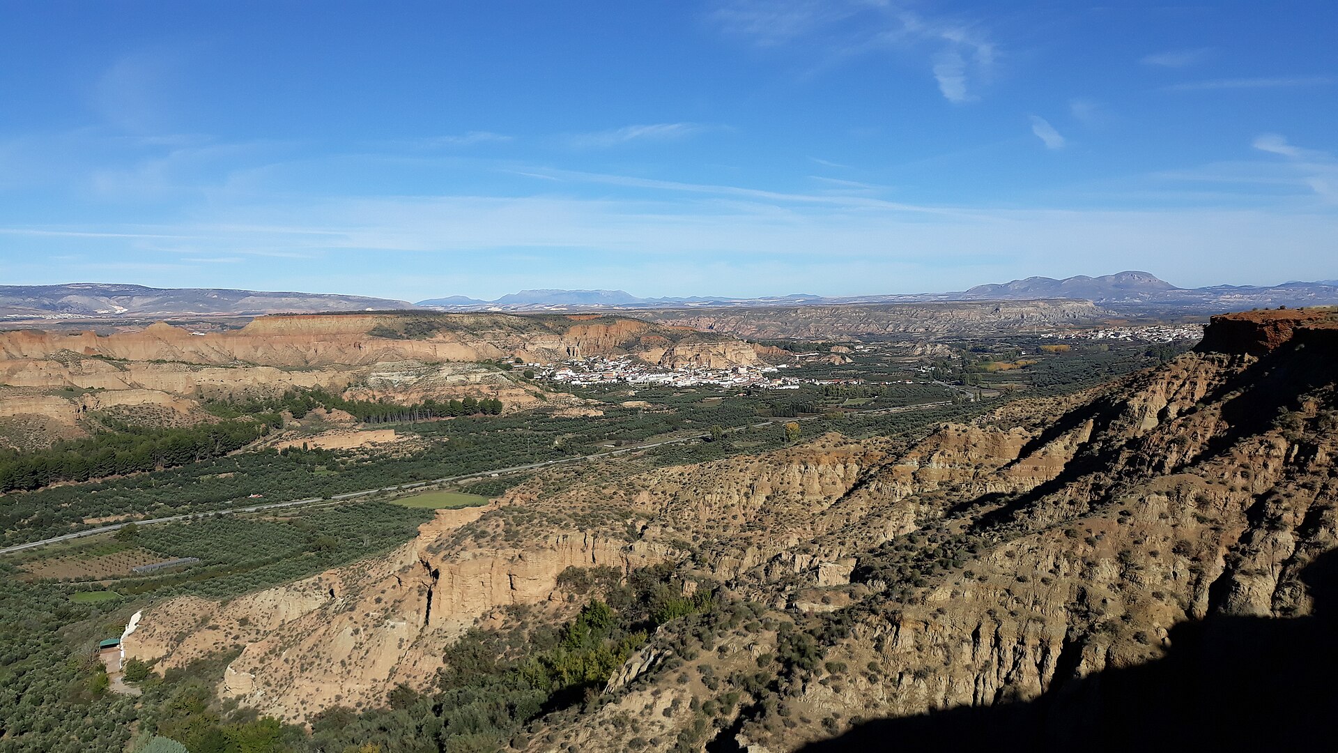
The park's terrain unfolds in distinct layers. The lower slopes are covered by extensive pine forests, which gradually give way to rockier, more barren ground as elevation increases. Above roughly 2,000 metres the scenery shifts to a high-mountain character, dominated by jagged limestone peaks that can carry snow through part of the winter. The range's highest point is Santa Bárbara, rising to 2,271 metres, offering sweeping views over the surrounding plateaus.
The massif itself sits in an unusual setting: on one side it borders the arid Llanos del Marquesado plain, which separates it from the Sierra Nevada range, and on the other it meets the equally dry Hoya de Guadix basin. Sandwiched between these two parched landscapes, Sierra de Baza stands out as a surprisingly green, well-watered island of vegetation.
What plants and animals live here?
Around a hundred plant species have been recorded within the park. Holm oaks and gall oaks dominate alongside junipers, accompanied by classic Mediterranean scrubland vegetation, including berry-bearing shrubs and aromatic herbs. The park also preserves one of the region's last remaining stands of native Mediterranean pine forest.
Wildlife is concentrated mainly in the rugged, hard-to-reach central section, home to birds of prey including the golden eagle and nine other raptor species, making Sierra de Baza one of Andalusia's more significant sites for observing birds of prey. Among mammals, visitors may encounter the badger, the wildcat, and the genet — a slender, cat-like carnivore typical of Mediterranean ecosystems.
What traces of past human settlement remain in the park?
Human presence in these mountains stretches back a very long way: rock paintings from the Palaeolithic period have been found on Monte Jabalcón, evidence that people have inhabited this area for thousands of years. In more recent history, the region went through periods of settlement followed by gradual depopulation. Scattered across the park today are abandoned villages and farmsteads such as Casas de Santa Olalla, Tablas, and Tesorero — now deserted, but still visible in the landscape as remnants of the mountain communities that once lived there.
Frequently asked questions
Where exactly is Sierra de Baza located? The park lies in the northeastern part of Granada province, adjacent to Almería province, in southern Spain.
How large is the park? The protected area covers more than 53,000 hectares.
What is the highest peak? Santa Bárbara, reaching 2,271 metres above sea level.
Since when has the area been protected? It was designated a natural park in 1989 to protect the mountain environment.
Are there traces of ancient civilizations in the park? Yes — Palaeolithic-era rock paintings survive on Monte Jabalcón, and abandoned villages and farmsteads can be found in various parts of the park.
Nearby places

Earn badges for the places you visit
Download NextOnTrip, discover new places and check off your trails.