About this place
Amálino údolí is a nature reserve located southeast of Kašperské Hory, within the Šumava Protected Landscape Area, close to the village of Nicov in the Czech Republic. The protected area was declared on 1 January 1994 and covers a total of 80.93 hectares. Most of this land, 77.35 ha, lies in the Klatovy district of the Plzeň Region, while the remaining 3.58 ha falls within the Prachatice district of the South Bohemian Region — a split that reflects the regional boundary running through the valley itself.
What does the reserve's landscape look like?
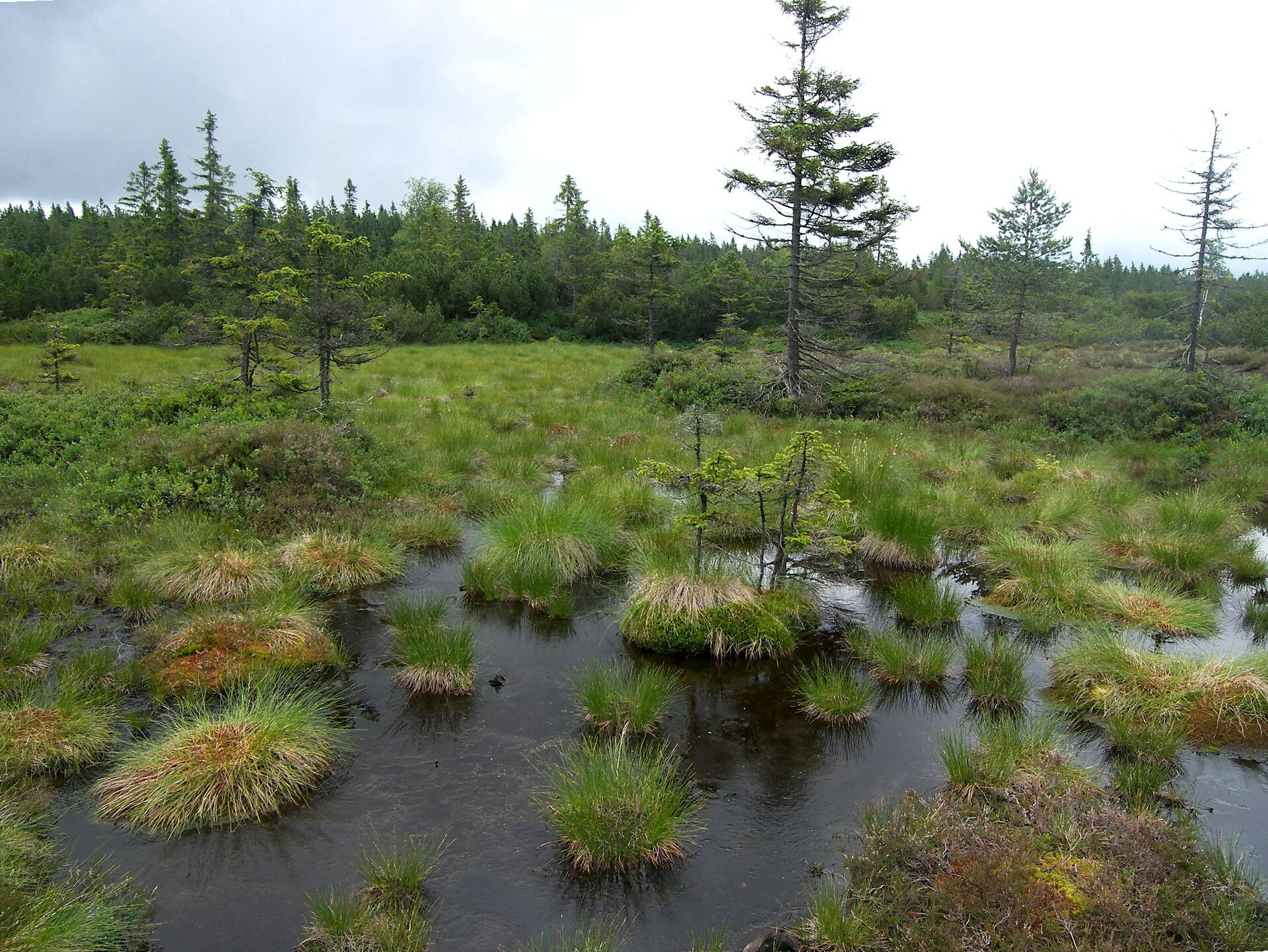
The protected area has an irregular, asymmetrical shape rather than a simple compact boundary, closely following the course of the Zlatý stream (Zlatý potok). The stream flows through the reserve along a deep valley running from east to west, and this valley forms the backbone around which most of the area's valuable habitats are arranged. The steep slopes and damp valley floor together create a mosaic of distinct micro-environments packed into a relatively small territory.
What habitats can be found here?
Within the reserve, several scattered but clearly defined habitat types occur: rocky outcrops, wetlands, groups of trees and natural springs. This variety of micro-habitats makes Amálino údolí notable for the range of species it can support, from those tied to drier, rockier slopes to species dependent on the valley's damp, shaded corners.
What traces remain of former gold mining?
Along the Zlatý stream, visible remnants of historical gold panning and mining activity survive, including shafts and other mining structures that testify to the valley's long history as a destination for prospectors seeking the precious metal. Some of these old shafts now serve as shelters for bats, which use the disused workings as roosting and hibernation sites. The Kristina shaft additionally houses a seismic monitoring station, showing how a former mining structure has since been repurposed for scientific use.
Which trails run through the valley?
Educational trails pass through the reserve, including "Cestou zlatokopů" (Along the Gold Prospectors' Path) and "Stezka strážců hranice" (Border Guards' Trail), along with sections of the Javorník circuit routes. These marked paths let visitors learn about the valley's mining history and natural features while staying on designated routes that avoid disturbing the protected habitats.
Frequently asked questions
When was the Amálino údolí reserve established? The reserve was declared on 1 January 1994.
How large is the protected area? It covers 80.93 hectares in total, with most of the land in the Plzeň Region and a smaller portion in the South Bohemian Region.
What is the main landscape feature of the valley? The valley is shaped around the Zlatý stream, which flows through a deep gorge from east to west.
Are there remnants of mining in the reserve? Yes, shafts and other traces of historical gold panning and mining survive along the stream, and some of the old shafts are now used by bats.
What hiking trails run through Amálino údolí? The reserve is crossed by the educational trails "Cestou zlatokopů" and "Stezka strážců hranice," as well as parts of the Javorník circuit routes.
Nearby places

Earn badges for the places you visit
Download NextOnTrip, discover new places and check off your trails.