About this place
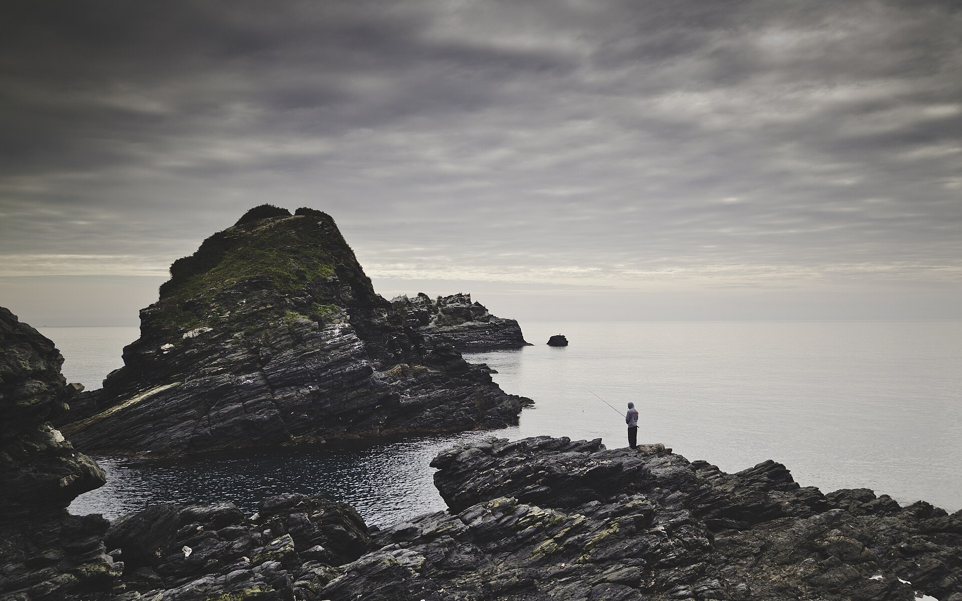
Acantilados de Maro-Cerro Gordo is a stretch of cliff-lined coastline on the border of Andalusia, sitting between Almuñécar in Granada province and Nerja in Málaga province. It marks one of the last undeveloped sections of Spain's Costa del Sol, where mountains drop directly into the sea and shape a landscape of coves, headlands and steep rock walls.
What does the landscape look like?
The protected area forms a narrow strip running parallel to the shoreline, roughly twelve kilometers long, and it also extends about a mile out to sea. The cliffs reach elevation differences of up to 250 meters. They are the coastal foothills of the Tejeda, Almijara and Alhama mountain ranges, carved over long periods by the constant action of sea waves. The result is a shoreline of small hidden coves, narrow beaches often reachable only on foot or by boat, and jagged cliff faces rising above the Alboran Sea.
What lies beneath the surface?
The underwater portion of this natural site is considerably richer in biodiversity than the land above it. The seabed supports extensive meadows of marine vegetation, including Posidonia oceanica and two Zostera species, which together create complex and biologically diverse habitats. These meadows serve as nurseries and feeding grounds for a wide range of fish and invertebrates. Of particular note is the presence of orange coral, a species classified as vulnerable to extinction, whose colonies rank among the most valuable elements of the local marine fauna.
Why is the area protected?
The site was designated a natural area (paraje natural) under Andalusian law in 1989. Since 2002 it has held status as a Special Protection Area for Birds, and since 2015 it has been recognized as a Special Conservation Zone within the European Natura 2000 network. Given its significance to Mediterranean ecosystems, the United Nations declared it a Specially Protected Area of Mediterranean Importance in 2003. These layered protections reflect how rare it is to find a stretch of coastline preserved in near-natural condition in a region where tourism development has claimed most of the shoreline.
What can visitors do here?
The area draws hikers who follow trails along the clifftops, divers and snorkelers exploring clear waters rich in marine life, and travelers looking for quieter beaches than those found in the neighboring resort towns. Coastal paths offer views over the open sea and the steep rock faces, while some of the coves can only be reached on foot or by kayak, which helps keep their natural character intact.
Frequently asked questions
Where exactly is Acantilados de Maro-Cerro Gordo located? It stretches along the Alboran Sea coastline on the border between Granada and Málaga provinces, between the towns of Almuñécar and Nerja.
Can you swim here? Yes, the area includes small, secluded coves and beaches, though access to some of them can be difficult due to the steep, cliff-lined terrain.
What makes this site ecologically distinctive? The combination of a dramatic cliff landscape on land with a rich, protected marine ecosystem below, including Posidonia meadows and populations of the endangered orange coral.
What protection status does the area hold? It is a paraje natural protected since 1989, also part of the European Natura 2000 network and recognized by the United Nations as a specially protected area of Mediterranean importance.
Nearby places

Earn badges for the places you visit
Download NextOnTrip, discover new places and check off your trails.