Save this place and discover nearby attractions with NextOnTrip
In the app you can add it to your favorites, see what else is worth visiting nearby on the map, and earn a badge for your visit.
The app is available for iPhone and Android.
About this place
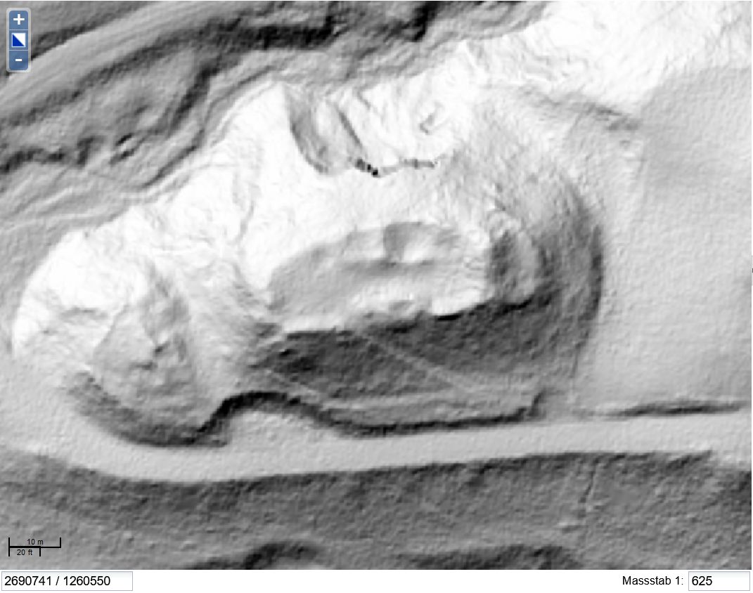
Untere Heidenburg is an archaeological site near Oberwil, in the municipality of Nürensdorf in the canton of Zurich. It lies on a hill east of Birchwil, east of Kloten airport. Locals call it the "Lower Heathen Fort". What remains is a small watchtower platform ringed by a ditch, not a castle with walls to tour.
What is this place?
Two fortified sites stand on the hill: the Obere (upper) and the Untere (lower) Heidenburg. They are separate monuments and easy to confuse. The lower one had a square central platform measuring 16 m on each side. A small square watchtower of 3 x 3 m stood in its middle. A ditch 7 m wide and 1.70 m deep surrounded the whole thing.
Researchers link both sites to Roman lookout towers along the late-antique road from Baden to Winterthur. The upper Heidenburg was reshaped into a motte in the Middle Ages. No written sources exist for it.
How was it researched?
Ferdinand Keller, the Swiss archaeologist, published plans of both works in 1869. The lower Heidenburg was excavated in 1937. In 1966 a fourth-century potsherd turned up at the upper site.
What will you see?
Expect no reconstructed masonry. You will see the outline of earthen banks and ditches in woodland on the hillside. It suits visitors interested in archaeology, the Roman frontier and medieval earthworks, and it makes a short outing in the rolling countryside of north-eastern Zurich.
How do you get there?
The site lies at roughly 47.457° N, 8.645° E, near Oberwil and Birchwil. From Zurich, head for Kloten or Bassersdorf and finish on foot. Check the exact route on a topographic map before you set out.
Frequently asked questions
Is Untere Heidenburg the same as Obere Heidenburg? No. They are two separate sites on the same hill. The upper one had a round central area, the lower one a square one.
How old is the site? The lower Heidenburg is a watchtower enclosure similar to the Roman towers along the Baden to Winterthur road. A fourth-century potsherd was found at the upper site in 1966.
Can I go inside? There is no building. You look at the shape of the ground: the ditch and the square 16 m platform.
Who studied it? Ferdinand Keller published the plans in 1869, and the lower Heidenburg was excavated in 1937.
Nearby places

Earn badges for the places you visit
Download NextOnTrip, discover new places and check off your trails.