About this place
Trójmorski Wierch is a peak in the Śnieżnik Massif, part of the Eastern Sudetes, rising to 1,145 metres above sea level right on the Polish-Czech border, near the Czech village of Velká Morava. What makes this summit worth a detour isn't dramatic scenery — it's geography. This is one of only a handful of places in Europe where a triple watershed point can be found.
Why is Trójmorski Wierch unique?
The name itself gives it away — "Trójmorski" translates roughly as "of three seas." This is exactly where the drainage basins of three seas meet: the Baltic, the Black Sea, and the North Sea. Rain falling on one side of the summit dome eventually reaches the Oder River and flows into the Baltic; on another side it feeds tributaries of the Danube and ends up in the Black Sea; and on the third, it travels through the Elbe river system all the way to the North Sea. A triple watershed divide of this kind is a genuine rarity on the European map, which is why the peak attracts not only hikers but also anyone curious about the continent's physical geography.
It's worth noting that on the Czech side, this same stretch of mountains is often associated with the Králický Sněžník range, a massif that straddles both sides of the border and gives the whole area its rugged, Eastern Sudetes character.
How to get there?
Because Trójmorski Wierch sits directly on the border, it can be approached from either the Polish or Czech side of the Śnieżnik Massif. Trails leading into this part of the Eastern Sudetes typically start in tourist villages at the foot of the massif and climb gradually through forested terrain toward the border ridge. On the Czech side, the area around Velká Morava serves as a natural starting point for routes deeper into the range. Since the peak lies right on the frontier, it's worth carrying an up-to-date hiking map covering both sides of the border — trail markings can differ noticeably from one country to the other.
What will you see there?
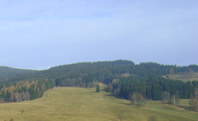
The main draw is the summit itself and its unusual position at the meeting point of three drainage basins — on the ground, this spot is often marked as a watershed point, which alone makes for a memorable photo stop. From the summit dome, situated within the Śnieżnik Massif, the views open onto the rolling, forested border ridges typical of the Eastern Sudetes. It's a rawer, quieter landscape than the more crowded parts of the Sudetes, which is exactly what draws hikers looking for less-trodden trails.
When to visit?
The best months for a hike are May through October, when trails are in good condition and views from the border ridge are at their clearest. Spring and autumn bring a higher chance of fog typical of the higher elevations in the Eastern Sudetes, while winter can make the terrain considerably harder to access due to snow and icy ridges — a winter trip calls for proper mountain gear and preparation.
Frequently asked questions
What is Trójmorski Wierch and where does the name come from? It's a peak in the Śnieżnik Massif rising to 1,145 metres, located on the Polish-Czech border. Its name comes from the fact that this exact spot marks the point where the drainage basins of three seas — the Baltic, the Black Sea, and the North Sea — meet.
Does the summit sit exactly on the state border? Yes, Trójmorski Wierch lies directly on the Polish-Czech border within the Śnieżnik Massif, close to the Czech village of Velká Morava.
Is the route suitable for beginners? Trails in this part of the Eastern Sudetes run through forested mountain terrain and require a basic level of hiking fitness — check current trail markings on both sides of the border before setting out.
What should you pack for the hike? Besides standard trekking gear, bring a hiking map that covers trail markings on both the Polish and Czech sides of the massif, since the summit lies precisely on the border line.
Nearby places

Earn badges for the places you visit
Download NextOnTrip, discover new places and check off your trails.