About this place
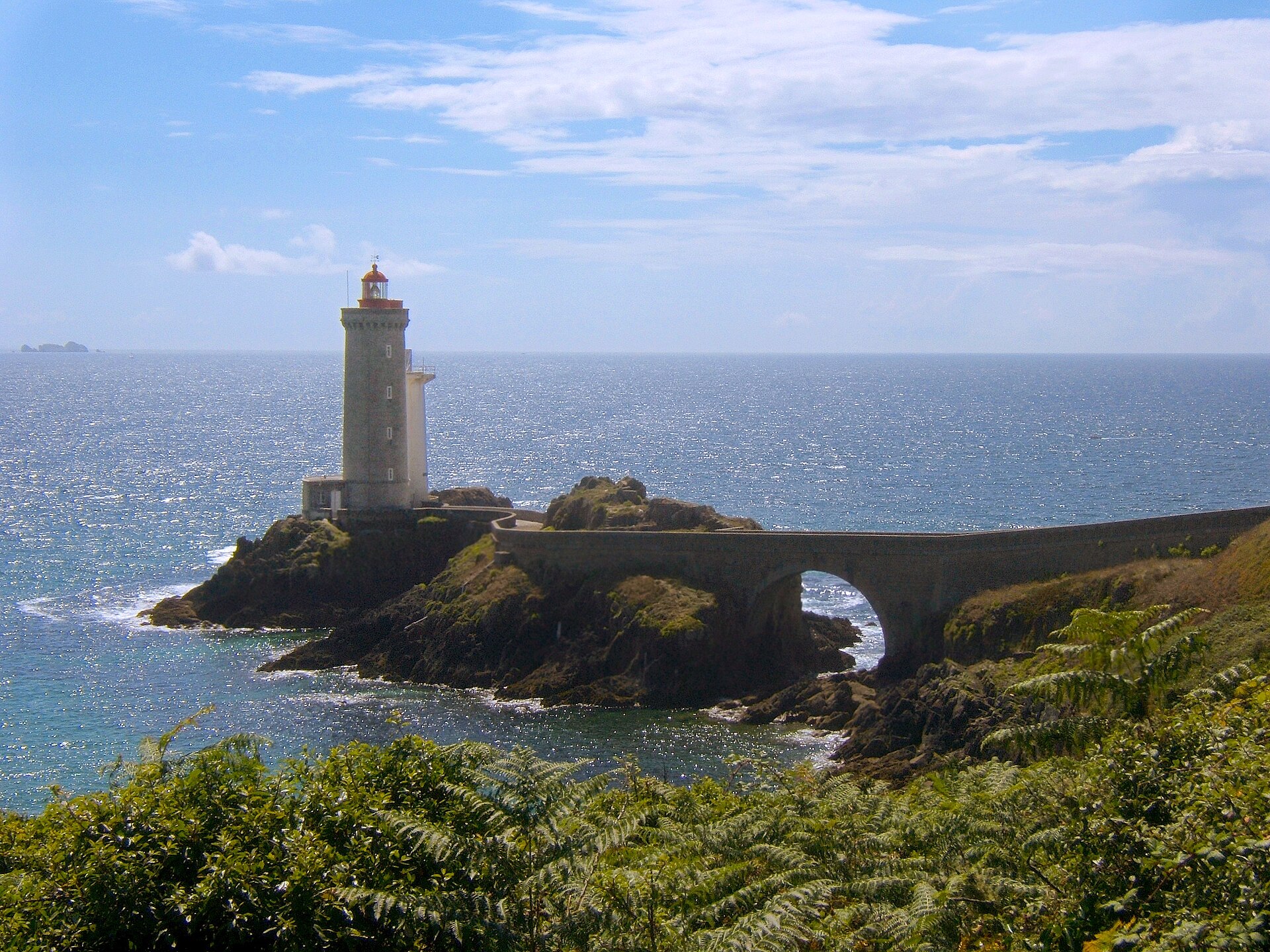
Toulinguet Lighthouse stands on the Pointe du Toulinguet, the westernmost tip of the Crozon peninsula in the town of Camaret-sur-Mer, Brittany. It is a small stone "maison-phare" — a keeper's house combined with a light tower — perched on a windswept granite headland facing the open Atlantic.
What is the history behind the lighthouse?
Construction ran from 1846 to 1848, and the light was first lit in July 1849. It was one of many lighthouses built along the French coast in the mid-19th century, as the state worked to mark dangerous stretches of shoreline for merchant and fishing traffic.
The headland itself has a much older military story. Vauban had an artillery battery installed here as early as 1695 to guard the approach to the Brest roadstead. In 1812 the site was enclosed with a defensive wall and an artillery tower was added. The lighthouse was therefore built on ground the military had already occupied for over a century — and it remains military land today, which directly shapes how visitors can experience the site.
How was the lighthouse built?
The tower is built of dressed stone: granite from Aber Ildut frames the door and window openings and forms the corner quoins, while kersantite — a dark stone typical of this part of Brittany — was used for the band course and the platform paving. The lens was designed and made by Henry Lépaute, a well-known French supplier of lighthouse optics at the time. The result is a functional, almost austere structure, closer in feel to a military outpost than to the more decorative lighthouses built for show elsewhere on the coast.
Can you go inside the lighthouse?
No. The lighthouse sits within a fenced military zone bordered by the 1812 wall and artillery tower, which restricts access to the site. The keeper's house itself has stood empty since the late 1980s — no one has lived there since, and the interior is not open to visitors. What you get is an exterior view, typically from the coastal footpath running along the cliffs nearby.
How do you get to Pointe du Toulinguet?
The headland sits on the western edge of the Crozon peninsula, a few kilometers from the center of Camaret-sur-Mer. The easiest way in is by car or bike along the local roads leading out to the point, followed by a short walk to the viewpoints. The area lies on the famous GR34 trail, which traces the entire Brittany coastline — a popular option for visitors who want to combine the lighthouse with a longer cliff-top walk.
What will you see on site?
The main draw is the view itself: the white lighthouse tower set against granite cliffs and open ocean, surrounded by the remains of 18th- and 19th-century fortifications. It is a spot where landscape, military history, and lighthouse engineering come together in one exposed viewpoint, typical of Brittany's raw Atlantic coast. Bring something windproof — the point is heavily exposed year-round.
When is the best time to visit?
Spring and early autumn offer the best conditions for visiting and photography, with fewer crowds than peak summer and softer light. Summer brings heavier foot traffic on the coastal paths, while winter can turn the headland wet and blustery, making a longer walk less comfortable.
Frequently asked questions
Can you go inside Toulinguet Lighthouse? No, it sits on military land and the interior is closed to visitors. You view it from outside, along the coastal footpath.
When was the lighthouse built? It was built between 1846 and 1848 and first lit in July 1849.
Why is access to the site restricted? Because it stands within a fenced military zone with an 1812 wall and artillery tower, on ground the military has held since Vauban's time (1695).
Does anyone still live in the lighthouse? No, the keeper's house has been unoccupied since the late 1980s.
Nearby places

Earn badges for the places you visit
Download NextOnTrip, discover new places and check off your trails.