About this place
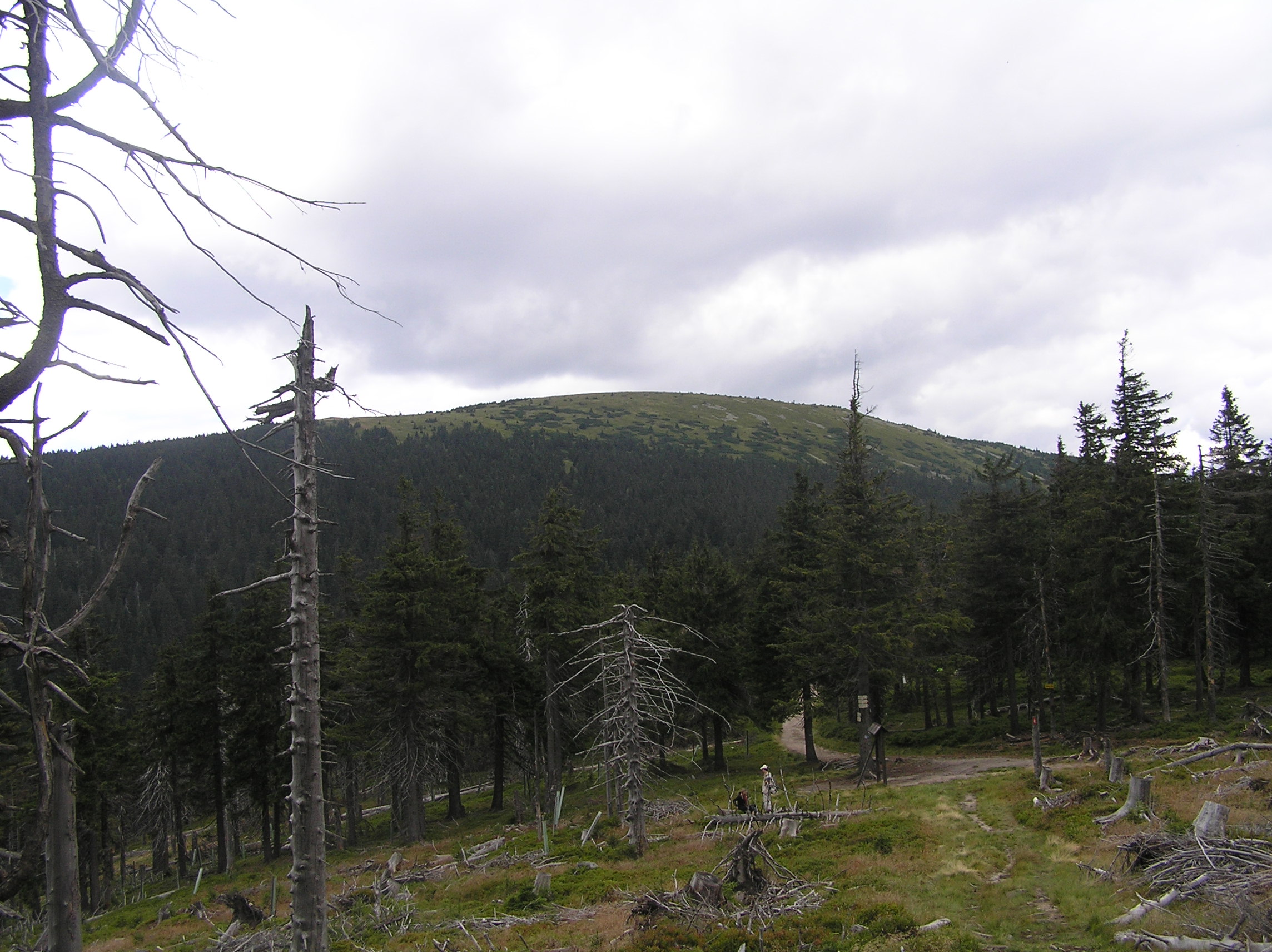
Stříbrnická is a modest summit rising to 1250 m above sea level in the eastern part of the Králický Sněžník massif in the Sudetes, right where the Pardubice and Olomouc regions of the Czech Republic meet. The mountain takes its name from the nearby village of Stříbrnice, and although it sits directly on the Polish-Czech border, the actual summit lies a few hundred meters inside Czech territory — on the Polish side, only the northern slope of the mountain is visible. That makes Stříbrnická less of a standalone destination and more of a waypoint for hikers crossing the Czech side of the massif, but as part of the route up to Králický Sněžník it's well worth a stop.
How do you get to Stříbrnická?
The most convenient starting point is the village of Stříbrnice, from where a yellow-marked trail climbs past a ski lift up to the Návrší mountain hut (880 m), one of the oldest lodges in the region. From there the path continues through forest, skirts the ravine of the Stříbrňák stream, and reaches a junction known as Nad Adélíným pramenem. From that point, blue and red trail marks lead across a saddle below Králický Sněžník, past a small chapel called Franciska, all the way to the springs of the Morava River, marked by a small elephant statue — a modest but popular photo spot among hikers passing through. The full route from Stříbrnice, over Stříbrnická, to the summit of Králický Sněžník (1424 m) covers roughly 7 km and is one of the classic approaches to the highest peak of the massif.
What else is worth seeing nearby?
The landscape around Stříbrnická is textbook Sudeten borderland: dense spruce forests, headwaters of mountain streams — including the source of the Morava, one of Central Europe's more significant rivers — and traces of a tourist infrastructure that grew up on both sides of the border somewhat independently over the decades. Nearby ski resorts, such as Paprsek (1010 m) and Návrší, run lifts that draw skiers in winter and double as useful landmarks for hikers in summer. The Polish-Czech border itself takes a rather irregular path through this stretch of the Sudetes, cutting across slopes rather than following the ridgeline — a quirk rooted in historical administrative divisions rather than any natural boundary.
Who is this route for?
The climb over Stříbrnická toward Králický Sněžník suits hikers with moderate experience. It isn't technically demanding, but at roughly 7 km one-way from Stříbrnice with a meaningful elevation gain, it calls for reasonable fitness and a full day on the trail. It's a good pick for anyone looking to explore the quieter, Czech side of the Sněžník massif, away from the busier trails on the Polish side of the border.
Frequently asked questions
How high is Stříbrnická? The summit reaches 1250 m above sea level.
Is Stříbrnická in Poland or the Czech Republic? The summit itself lies in the Czech Republic, a few hundred meters from the border — Poland only covers the mountain's northern slope.
Where's the best place to start the hike? Most hikers start in the village of Stříbrnice, following the yellow trail to the Návrší hut before continuing toward Stříbrnická and Králický Sněžník.
Can the hike to Stříbrnická be combined with climbing Králický Sněžník? Yes — it's a natural continuation of the same route. From Stříbrnice, over Stříbrnická, to the summit of Králický Sněžník is about 7 km in total.
Nearby places

Earn badges for the places you visit
Download NextOnTrip, discover new places and check off your trails.