Save this place and discover nearby attractions with NextOnTrip
In the app you can add it to your favorites, see what else is worth visiting nearby on the map, and earn a badge for your visit.
The app is available for iPhone and Android.
About this place
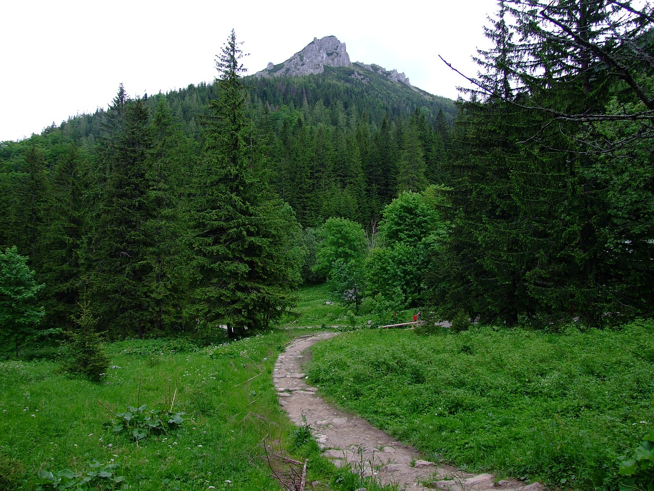
Dolina Strążyska (the Strążyska Valley) is one of the most visited valleys of the Polish Western Tatras, lying right next to Zakopane, between the Dolina ku Dziurze and the Dolina za Bramką valleys. Easy access from town, well-marked trails and the impressive Siklawica waterfall make it a classic first encounter with the Tatra landscape.
Where does the name Strążyska come from?
The name derives from the word "strąga". In the Podhale highland dialect it meant a kind of pen where sheep are milked. A trace of the old pastoral economy therefore survives in the name of a place that today serves mostly hikers.
Where is the valley and what surrounds it?
The valley opens toward Zakopane and belongs to the Western Tatras. It neighbours the Dolina ku Dziurze on one side and the Dolina za Bramką on the other. You enter it through Tatra National Park territory, so park rules apply, including a ban on dogs and an entrance fee. Reaching the valley via Droga pod Reglami, the black trail running from Kiry toward the Wielka Krokiew ski jump, is exempt from the park fee.
How do you get to Polana Strążyska?
The most popular route starts at the parking area at the mouth of the valley. From there a red-marked trail covers about 1.9 km in roughly 40 minutes and ends at Polana Strążyska, a wide, open clearing among the forest and a natural place to rest before continuing. The climb is gentle, so the valley suits families with children and people without much mountain experience.
How long does it take to reach Siklawica?
From the clearing, a yellow trail leads to Siklawica, one of the best-known waterfalls in this part of the Tatras. The stretch is about 0.3 km and takes around 10 minutes. It is short, but in places it can be slippery, especially after rain and when ice or snow lingers in the valley. Shoes with a good sole are worth having.
Can you continue higher, to Sarnia Skała?
Yes. From the Siklawica area a black trail leads through the Czerwona Przełęcz pass to Sarnia Skała, the highest point of the surroundings at 1,377 m above sea level. This version of the hike is longer and demands better fitness than the walk to the clearing alone. The reward is a view over Zakopane and the surrounding ranges. Some sections of trails in this area carry avalanche risk, so in winter check current reports before setting out.
How to plan your visit
- Time of day. The valley is popular, so in summer and on weekends start early to avoid crowds and find a parking spot.
- Footwear and clothing. Even on an easy route, hiking boots and a rain layer help, because mountain weather changes quickly.
- Dogs. Dogs may not be brought into the park, so arrange for your pet to stay behind.
- Fee-free option. To avoid the park fee, choose the approach along Droga pod Reglami.
Frequently asked questions
Is the Strążyska Valley difficult? The stretch to Polana Strążyska is easy with a gentle gradient. It gets harder only on the trails leading higher, toward Czerwona Przełęcz and Sarnia Skała.
How long is the walk to Siklawica? From the parking area to Polana Strążyska takes about 40 minutes, then roughly 10 more minutes to the waterfall.
Where does the valley's name come from? From the dialect word "strąga", meaning a pen for milking sheep.
Can I bring a dog? No. This is Tatra National Park territory, where dogs are not allowed.
Is entry paid? Entering the park requires a fee, but the route along Droga pod Reglami, the black trail from Kiry toward Wielka Krokiew, is free of the park fee.
Nearby places

Earn badges for the places you visit
Download NextOnTrip, discover new places and check off your trails.