Save this place and discover nearby attractions with NextOnTrip
In the app you can add it to your favorites, see what else is worth visiting nearby on the map, and earn a badge for your visit.
The app is available for iPhone and Android.
About this place
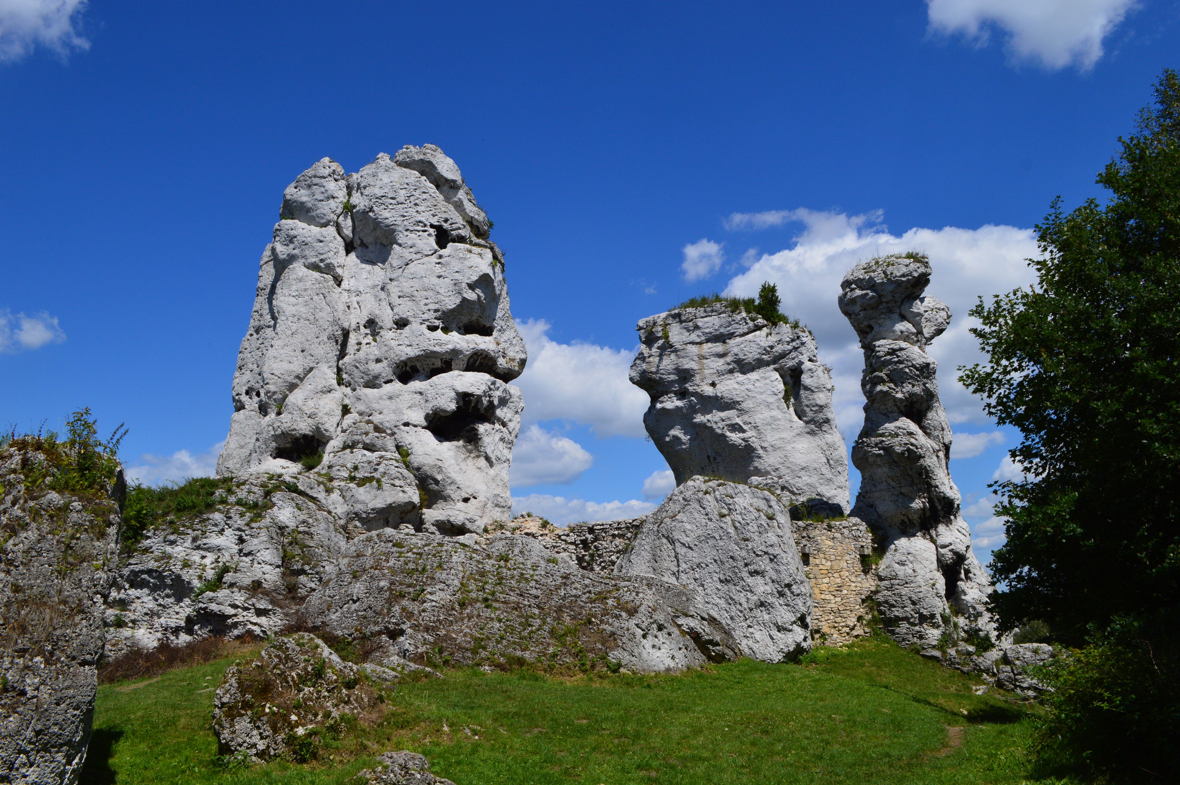
Eagles' Nests Landscape Park (Park Krajobrazowy Orlich Gniazd) is a large protected area on the Kraków-Częstochowa Upland, stretching from Częstochowa to Olkusz and Dąbrowa Górnicza. It lies on the border of the Silesian and Lesser Poland voivodeships and covers roughly 597 km². Established in 1980, it is one of more than 120 landscape parks in Poland. Its name comes from the medieval strongholds built on rocky heights on the orders of King Casimir III the Great.
Where is the park and how do you get there?
The park occupies a belt between Częstochowa and Olkusz, in the northern and central parts of the Jura. This is a region of limestone hills, valleys and crags, so a trip is easiest by car or bike. The landscape here is gentler than the Tatras, with pale rock outcrops rising from forests and meadows.
Why "Eagles' Nests"?
In the age of Casimir the Great, the frontier between the Kingdom of Poland and Silesia ran close to these lands. To guard it and protect key trade routes, a system of castles and watchtowers was raised on tall, hard-to-reach rocks. Seen from below, they looked like eagles' nests perched on cliffs, hence the name. Around twenty-five such sites survive today, although some remain only as picturesque ruins.
What is the Eagles' Nests Trail?
The park covers much of the Eagles' Nests Trail, marked as No. 1 on the official list of Polish tourist trails. The whole route from Częstochowa to Kraków is about 164 km and can be done on foot or by bike, usually split over several days. It links one fortress after another and shows what the kingdom's old defensive line looked like.
Which castles should you see?
- Ogrodzieniec – the largest and most imposing stronghold of the Jura, with monumental ruins merged into a rocky ridge. It is one of the region's best-known symbols.
- Rabsztyn – the picturesque remains of a once-mighty fortress on a limestone hill.
- Pieskowa Skała – a Renaissance residence and an example of well-preserved defensive architecture.
Each has its own character, so visiting several in one trip never feels repetitive.
What else is in the area?
The Kraków-Częstochowa Upland is known for karst formations. The region holds about 1,500 caves, and a stretch of the trail passes through Ojców National Park, where you can visit places such as Łokietek's Cave. A complex of Lesser Poland landscape parks nearby includes around twenty nature reserves. The limestone crags attract climbers, while forests and valleys draw hikers and photographers.
Frequently asked questions
Do you need a ticket to enter the park? The landscape park itself is an open area. Fees usually apply to individual castles, caves or national parks along the way, so check the rules before you visit.
How long does the trail take? The full route is about 164 km. Walkers typically spread it over several days, cyclists can ride it faster, and many visitors choose only selected sections.
When is the best time to go? Spring and autumn suit hiking and photography, while summer is good for castle visits and climbing. In winter some sites may have shorter opening hours.
Is it a good destination with children? Yes, castle ruins and caves often delight children, but steep rocks and narrow paths call for attention.
Nearby places

Earn badges for the places you visit
Download NextOnTrip, discover new places and check off your trails.