About this place
Myslivna is a natural monument covering the northwestern slopes of the mountain of the same name in the Pohorská Ves municipality, part of the Novohradské hory (Novohradské Mountains) in southern Bohemia, just a few kilometres from the Austrian border.
Where is Myslivna located?
The Myslivna summit reaches 1,040 metres above sea level and ranks as the second-highest peak on the Czech side of the Novohradské hory, surpassed only by the neighbouring Kamenec, with Vysoká forming the third summit in this trio that exceeds the 1,000-metre mark. Together these three peaks form the backbone of the range running along the Czech-Austrian border. Pohorská Ves, the municipality that administers the area, lies in the Český Krumlov District of the South Bohemian Region, roughly three kilometres from the state border with Austria.
What does the natural monument protect?
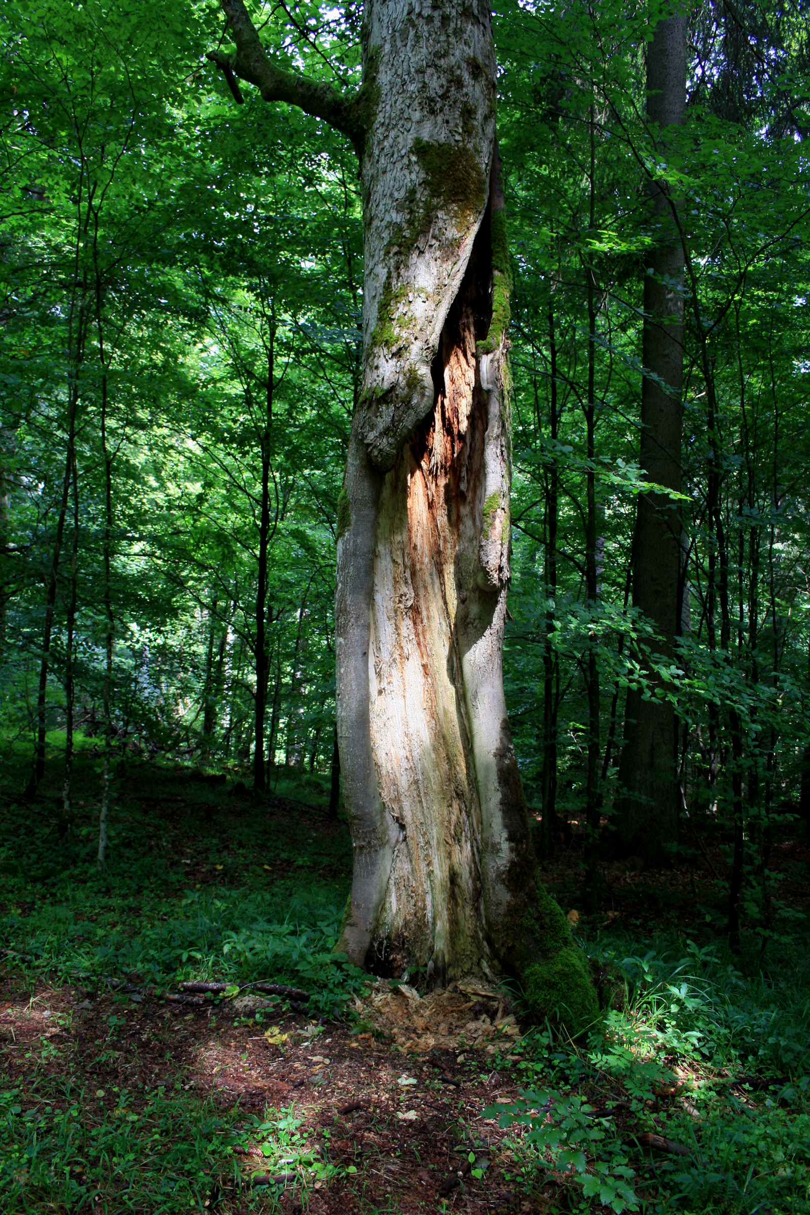
Protection on Myslivna's northwestern slopes covers two distinct plant communities typical of the higher elevations of the Novohradské hory. The first consists of mountain acidophilic spruce forests — woodlands growing on acidic, nutrient-poor soils that are characteristic of the cooler, harsher conditions found at the range's upper altitudes. The second is made up of rocky beech forest communities, found where the terrain becomes rugged and stony and tree roots must contend with shallow soil layers and exposed rock outcrops. The coexistence of both forest types on a relatively compact stretch of slope makes this part of the mountain a notable example of natural vegetation zoning shaped by altitude and terrain.
A source for local waterways
The area around the Myslivna summit also plays a role in the region's hydrology. The Černá stream originates just below the peak, forming one of the watercourses that drain the Czech side of the Novohradské hory. This spring-fed character is typical of the range's higher reaches, where rainfall and melting snow feed the mountain streams, and it adds further ecological value to the protected land surrounding the summit.
Who is this place for?
Myslivna appeals mainly to nature lovers and hikers drawn to the quieter corners of the Novohradské hory, away from the better-known, more heavily visited attractions of southern Bohemia. The presence of two distinct forest types on a single slope makes it a good spot to observe how terrain and bedrock shape mountain vegetation. Its position within Pohorská Ves and its proximity to the Austrian border also make the area a convenient starting point for longer hikes along the Czech side of the range.
Frequently asked questions
What is Myslivna? It is a natural monument covering the northwestern slopes of the Myslivna summit in the Novohradské hory, within the Pohorská Ves municipality in southern Bohemia.
How high is the Myslivna summit? The peak reaches 1,040 metres above sea level, making it the second-highest point on the Czech side of the Novohradské hory, after Kamenec.
What does the protected area preserve? Mountain acidophilic spruce forests growing on acidic soils, together with rocky beech forest communities found on the slope's stonier, more rugged sections.
Which stream originates here? The Černá stream rises just below the Myslivna summit and feeds into the local watercourse network of the Novohradské hory.
Nearby places

Earn badges for the places you visit
Download NextOnTrip, discover new places and check off your trails.