About this place
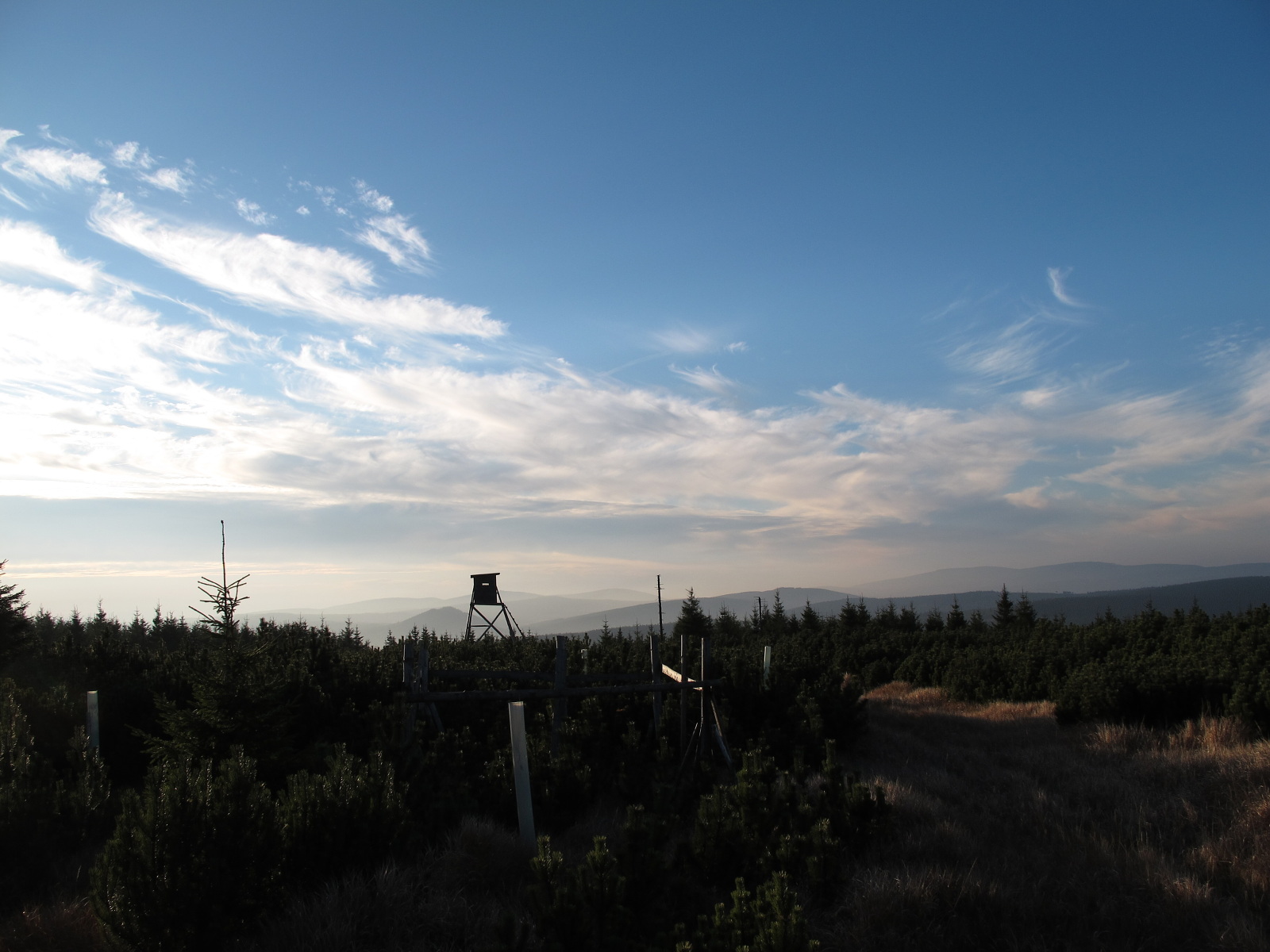
Mrtvý Vrch is a modest summit in the western Giant Mountains (Krkonoše), rising about 3 km north of Harrachov. At 1,062 meters above sea level, it is the northernmost thousand-meter peak in the entire Krkonoše range — and also one of the few spots here that tourists simply cannot reach, by design.
Where exactly is it?
The peak sits in the westernmost part of the Silesian Ridge (Slezský hřeben), roughly 1 km east of Novosvětské sedlo, the saddle that separates the Krkonoše from the Jizera Mountains (Jizerské hory). That border position — right where two ranges meet — is why Mrtvý Vrch often shows up as a landmark when people plan hikes between Harrachov and the Jizera Mountains, even though the summit itself stays off-limits.
Why is there no trail?
This is the single most important practical fact: no marked hiking trail leads to Mrtvý Vrch. The area falls within a designated quiet zone (klidové území) of the Krkonoše National Park, meaning movement off the marked network — including on unmarked paths — is prohibited. This isn't bureaucratic inconvenience; it protects a fragile treeline ecosystem and boggy saddles that don't recover quickly from foot traffic. If you look for Mrtvý Vrch on a hiking map, you won't find a route to it, and that's exactly the point.
What does the terrain actually look like?
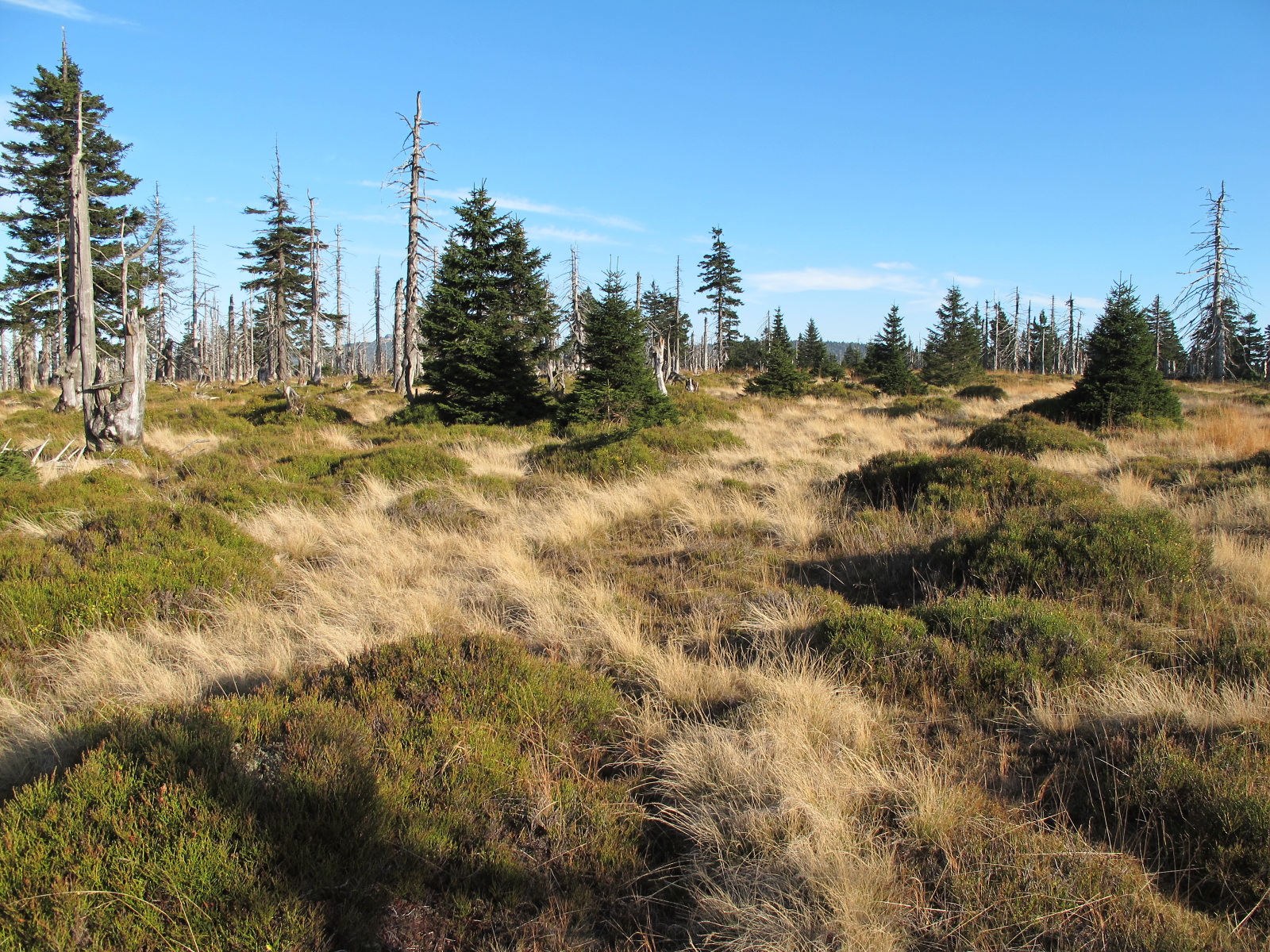
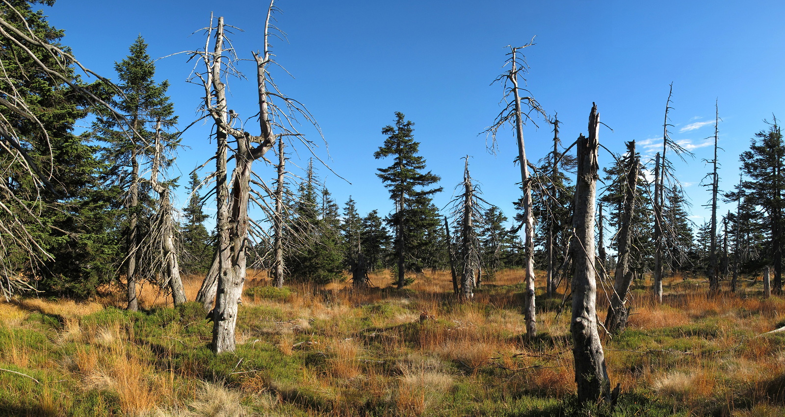
The summit itself is a very flat, barely distinguishable rise, covered by young spruce forest interspersed with clearings. Those gaps in the canopy open up partial, unpolished views — mostly toward the Jizera Mountains stretching west and northwest. It isn't a viewpoint in the classic sense; it's more a place where the landscape reveals itself in fragments, between the trees, to anyone who happens to pass nearby on permitted routes.
What's worth knowing about the surrounding area?
Below the mountain, on the boggy saddle connecting Mrtvý Vrch with Žlabský vrch, stands the Alfrédka hut — a small structure that has long served as a landmark for hikers moving along the legal trail network in this part of the Krkonoše. It's from around there, rather than from the summit itself, that the character of this region is best appreciated: wide, waterlogged saddles, dwarf spruce, and a silence that's become scarce in the more heavily visited parts of the Giant Mountains.
The mountain's German name, Weiberberg, survives in older maps and publications — a trace of the era when this region formed part of German-speaking Sudeten settlement.
How to plan around it from Harrachov?
Harrachov, sitting at the foot of the Krkonoše, is the natural starting point for exploring the area around Mrtvý Vrch and Novosvětské sedlo. While the summit stays closed to foot traffic, the permitted trails running toward it let you take in the same type of scenery — the meeting point of two mountain ranges, boggy clearings, and views toward the Jizera Mountains — without setting foot in the protected quiet zone. It's best planned as a scenic walk rather than a summit to tick off.
Frequently asked questions
Can you hike to the top of Mrtvý Vrch? No — there's no marked trail, and the area lies within a designated quiet zone of the Krkonoše National Park, where leaving the marked path network is prohibited.
How high is Mrtvý Vrch? It stands at 1,062 meters above sea level (some sources list 1,059 m), making it the northernmost thousand-meter peak in the Krkonoše.
How far is it from Harrachov? About 3 km in a straight line north of Harrachov's center.
What can visitors see near the peak instead? Permitted trails around Novosvětské sedlo and the Alfrédka hut offer similar scenery — views toward the Jizera Mountains and the typical high-altitude vegetation of the Krkonoše.
Nearby places

Earn badges for the places you visit
Download NextOnTrip, discover new places and check off your trails.