About this place
Lhota is a small village forming part of the town of Třebenice, in the Litoměřice District of the Ústí nad Labem Region, right in the heart of the Bohemian Central Uplands (České středohoří). Although administratively tied to Třebenice, it sits well away from the town centre — roughly 7 km to the northwest — in the valley of the upper course of the Modla stream, ringed by the region's distinctive volcanic hills.
Where is Lhota and what does the landscape look like?
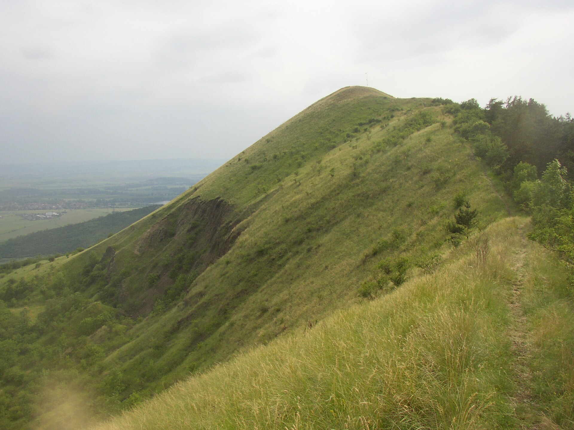
The village occupies a small basin carved by the upper Modla stream, framed by the surrounding hills of Líšeň, Pákova hora, Setenka and Lipská hora — the highest of the group at 689 metres above sea level. This is the classic Bohemian Central Uplands scene: isolated, dome-shaped volcanic hills rising abruptly above a farmed valley floor, visible from almost any point around the village. The cadastral area is officially named Lhota u Medvědic and covers just 1.17 square kilometres, making Lhota one of the smallest of the eight villages that make up the municipality of Třebenice, alongside Kocourov, Kololeč, Lípa, Medvědice, Mrsklesy, Sutom and Teplá.
What is the history behind the village?
The first written record of Lhota dates back to 1407, when the estate belonged to Rydkéř ze Skalky. The name "Lhota" — one of the most common village names in the Czech Republic, roughly equivalent to the Polish "Ligota" — traces back to a medieval settlement privilege: newly founded villages were granted a temporary exemption ("lhůta") from feudal duties to attract settlers, which is why so many Czech villages share the exact same name. The village's original layout has survived remarkably intact: houses are arranged around a rectangular village green, a pattern still clearly visible on the stable cadastre map from 1843 and typical of medieval settlement planning in the region.
What is there to see nearby?
Lhota itself is a quiet, agricultural village without major sights in its immediate centre, but its real appeal lies in its setting at the foot of the Bohemian Central Uplands' volcanic hills. Lipská hora (689 m) makes for a natural short hiking goal, rewarding visitors with views over the surrounding valleys and neighbouring peaks — Líšeň, Pákova hora and Setenka. This is landscape typical of the whole region: solitary, steeply rising remnants of ancient volcanic activity, separated by fertile valleys that have been farmed for centuries.
How do you get to Lhota?
Lhota lies off the main transport routes, so the most practical way to reach it is by car — from Třebenice, following local roads northwest through the Modla valley. It works well as a base for exploring the Bohemian Central Uplands by car, especially for visitors planning a longer route through the smaller hills and villages of the Litoměřice district.
When is the best time to visit?
Spring and summer are the best seasons, when the valleys around the village turn green and hikes up the surrounding hills offer the clearest views. Autumn has its own charm too — the colourful slopes of the Bohemian Central Uplands draw landscape photographers. In winter, access can be harder due to the modest road infrastructure typical of the region's smaller villages.
Frequently asked questions
Is Lhota an independent municipality? No — it is a village that forms part of the town of Třebenice, one of eight settlements making up that municipality.
How far is Lhota from the centre of Třebenice? About 7 kilometres to the northwest, in the valley of the upper Modla stream.
Where does the name Lhota come from? It is one of the most common village names in the Czech Republic, derived from a medieval privilege granting new settlers a temporary exemption from feudal duties — which explains why many Czech villages share the same name.
Which hills surround the village? Líšeň, Pákova hora, Setenka, and the highest of them, Lipská hora at 689 metres — all typical of the volcanic landscape of the Bohemian Central Uplands.
Nearby places

Earn badges for the places you visit
Download NextOnTrip, discover new places and check off your trails.