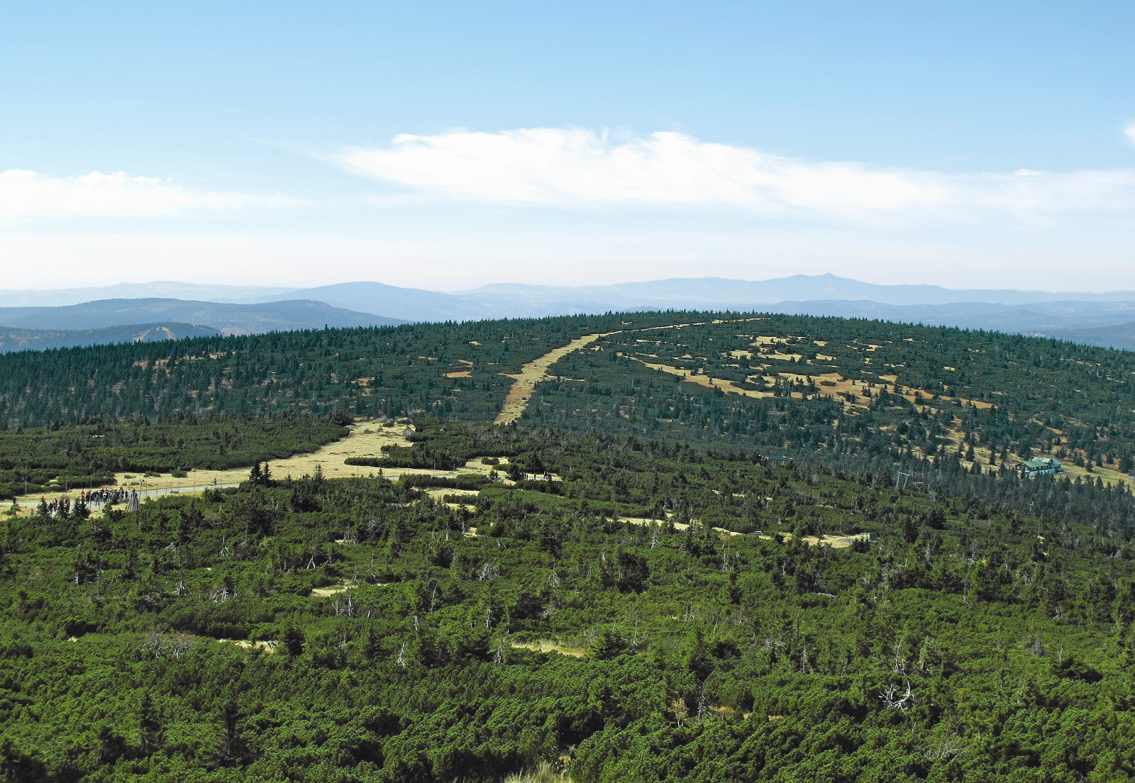
About this place
Kamiennik is a mountain peak in the western part of the Karkonosze (Giant Mountains), sitting right on the Polish-Czech border near the Czech town of Harrachov. It's a good pick for hikers who want a quieter alternative to the range's busiest summits while still experiencing the classic cross-border Karkonosze scenery.
Where is Kamiennik located?
The peak sits in the western wing of the Karkonosze, part of the ridge running along the state border between Poland and the Czech Republic. The nearest well-known landmark is Harrachov on the Czech side — a popular mountain resort town at the foot of the range and a convenient base for planning a hike into this area. Guidebooks and maps commonly list Kamiennik's elevation as 1294 m above sea level. Worth knowing: the actual survey point sits slightly below the true summit, at 1293.7 m, which is why the rounded figure is the one most sources use.
How do you get to the summit?
Kamiennik lies in an area criss-crossed with hiking trails, typical of the western Karkonosze. Harrachov makes the natural starting point — well connected to both the Czech and Polish sides of the mountains, with parking, accommodation, and trailheads for hikes into the higher parts of the range. Because the peak sits right on the border, it's worth checking the current marked trails on both sides before setting out, along with realistic hiking times — terrain in this part of the Karkonosze can be demanding and the weather changes quickly.
What will you see at the top and nearby?
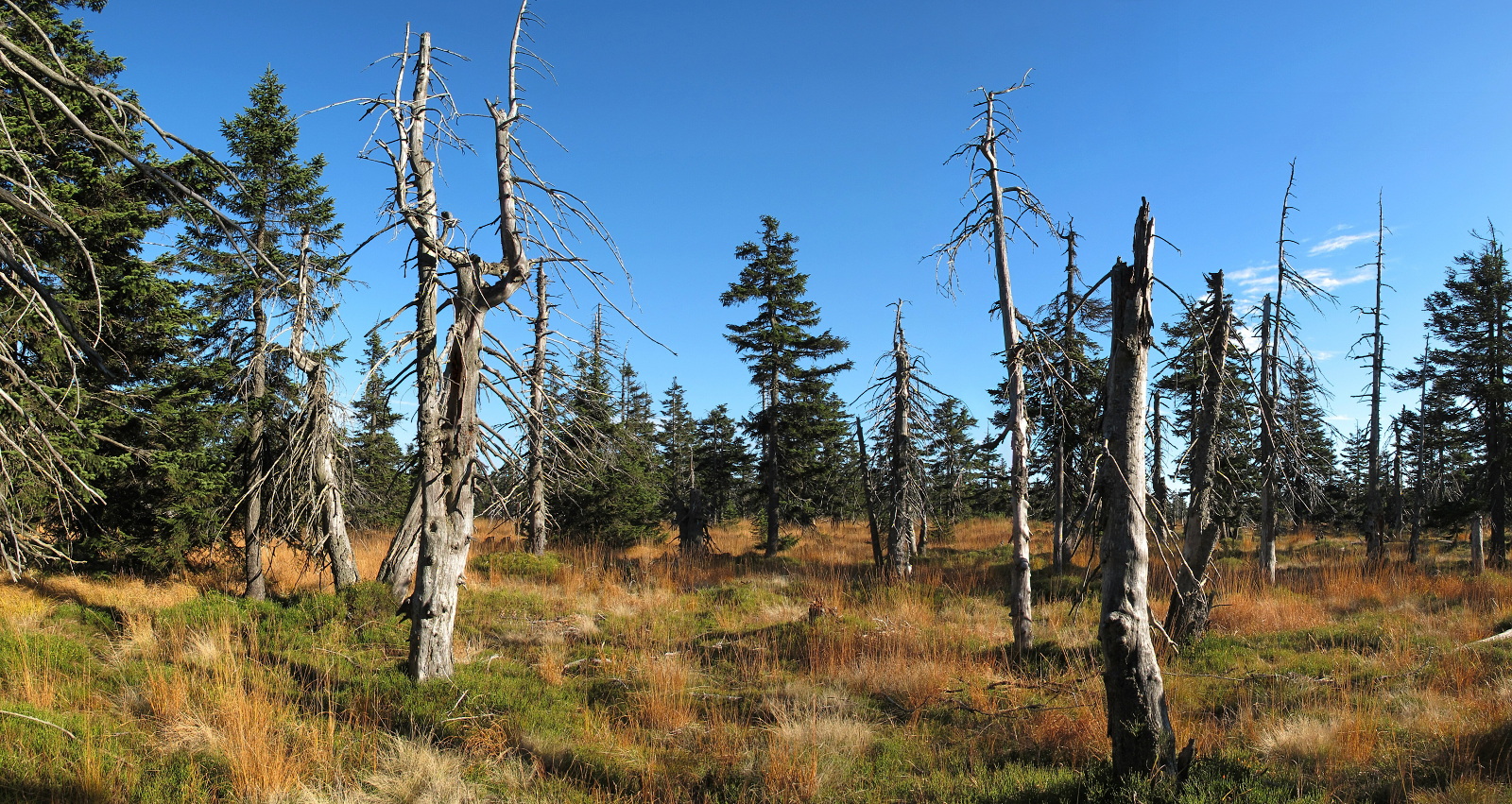
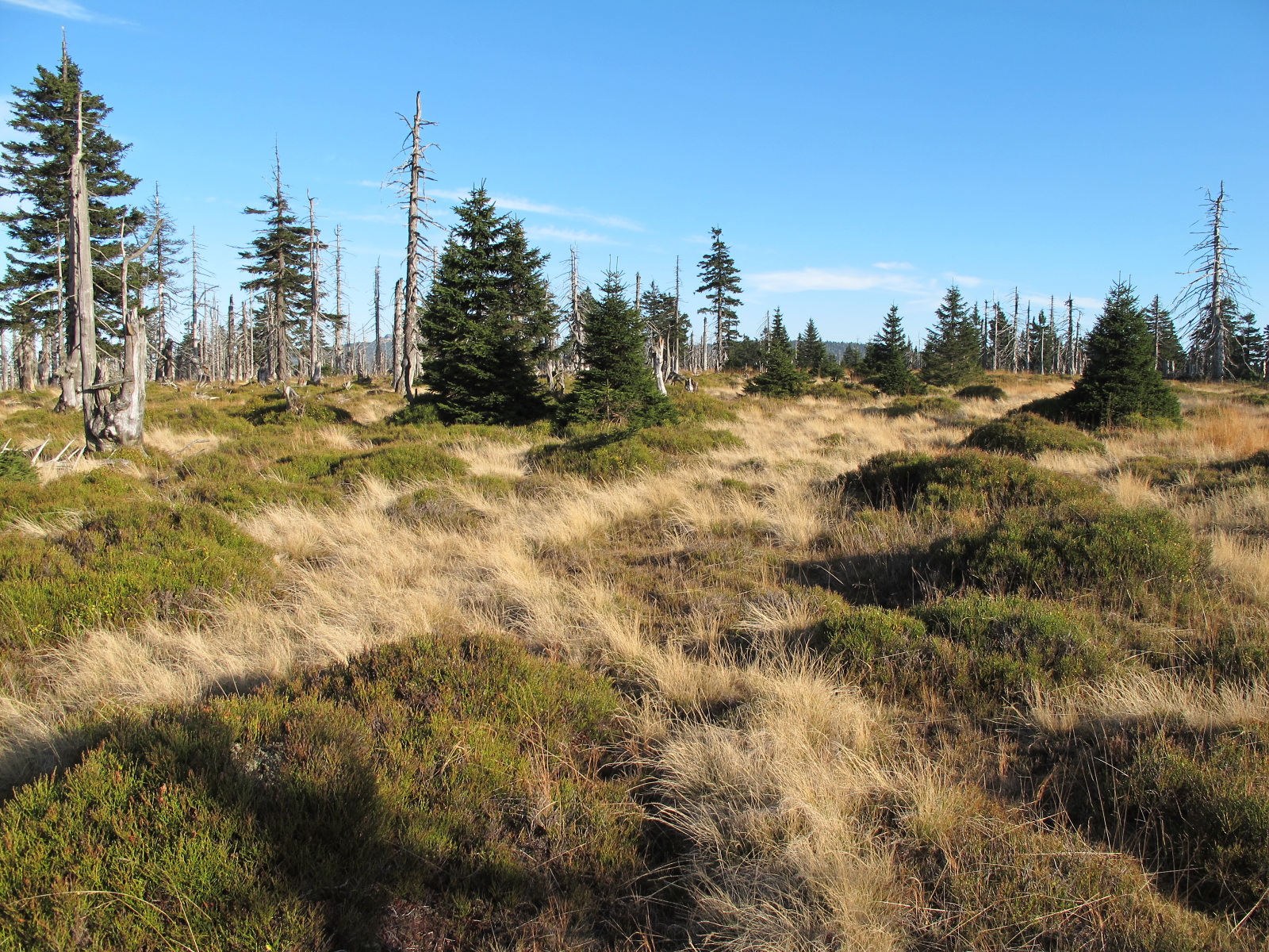
The western Karkonosze have a different character from the more heavily visited stretch of the range around Śnieżka — the landscape here is calmer, with broad views across border ridges and valleys on both the Polish and Czech sides. At just over 1290 m, Kamiennik fits the typical profile of this part of the mountains: gentler slopes, forest giving way higher up to dwarf mountain pine, and open, windswept ridgelines. It's a spot valued more by hikers looking for quiet, less-traveled routes than by visitors chasing built-up viewpoints or summit-adjacent mountain huts.
When is the best time to visit?
Late spring, summer, and early autumn are the best windows for hiking around Kamiennik, when trails are passable and weather in the higher Karkonosze is more predictable. In winter, the terrain around the border peaks gets tough — strong wind, icing, and short daylight hours call for proper preparation and experience. Harrachov works as a year-round base, but reaching the summit itself in winter is best left to hikers experienced in winter mountain conditions.
Frequently asked questions
How high is Kamiennik? Guidebooks and maps list it at 1294 m above sea level. The actual survey marker sits slightly below the summit, at 1293.7 m.
Is Kamiennik in Poland or the Czech Republic? The summit sits right on the state border between Poland and the Czech Republic, in the western part of the Karkonosze.
Where's the best place to start a hike to Kamiennik? Harrachov, on the Czech side, is the most convenient base, with trails heading up into the western Karkonosze.
Is the route difficult? The western Karkonosze are gentler than the range's central section, but given the border-area location and shifting mountain weather, it's worth allowing extra time and checking trail conditions on both sides before you go.
Nearby places

Earn badges for the places you visit
Download NextOnTrip, discover new places and check off your trails.