Save this place and discover nearby attractions with NextOnTrip
In the app you can add it to your favorites, see what else is worth visiting nearby on the map, and earn a badge for your visit.
The app is available for iPhone and Android.
About this place
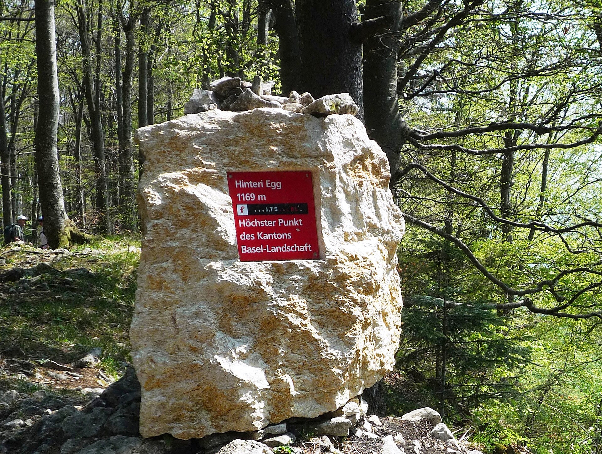
Hinteri Egg is the highest point of the Swiss canton of Basel-Landschaft, a forested summit in the Jura within the municipality of Waldenburg, close to the Solothurn border. It rises to roughly 1,168-1,169 m above sea level, depending on the source, between the Waldenburg valley and the Reigoldswil valley. Swisstopo has spelled the name "Hinderi Egg" since 2012, but signs and guidebooks still often use "Hinteri Egg".
Where is Hinteri Egg?
The summit sits on a Jura ridge south of Reigoldswil. Waldenburg and Reigoldswil share the area, and the whole summit zone lies inside the Wasserfallen nature reserve. A short distance to the south, the border between Basel-Landschaft and Solothurn crosses the fore-summit Chellenchöpfli (1,157 m). The dominant neighbour is Vogelberg, under two kilometres away, reached along the ridge path toward the Passwang pass.
How do you get to the top?
Reigoldswil is the easiest starting point. The Wasserfallen cable car carries hikers up to its top station in a few minutes, so most of the climb is skipped. From there, marked trails follow the Hinderi Egg-Passwang ridge, which has a dense network of footpaths. About 700 m southwest of the summit lies a pass toward Passwang, just south of the Hintere Wasserfallen mountain inn. A saddle at about 988 m leads toward Bilsteinberg (1,126 m), west of the Hof Kellenberg farm.
What will you see?
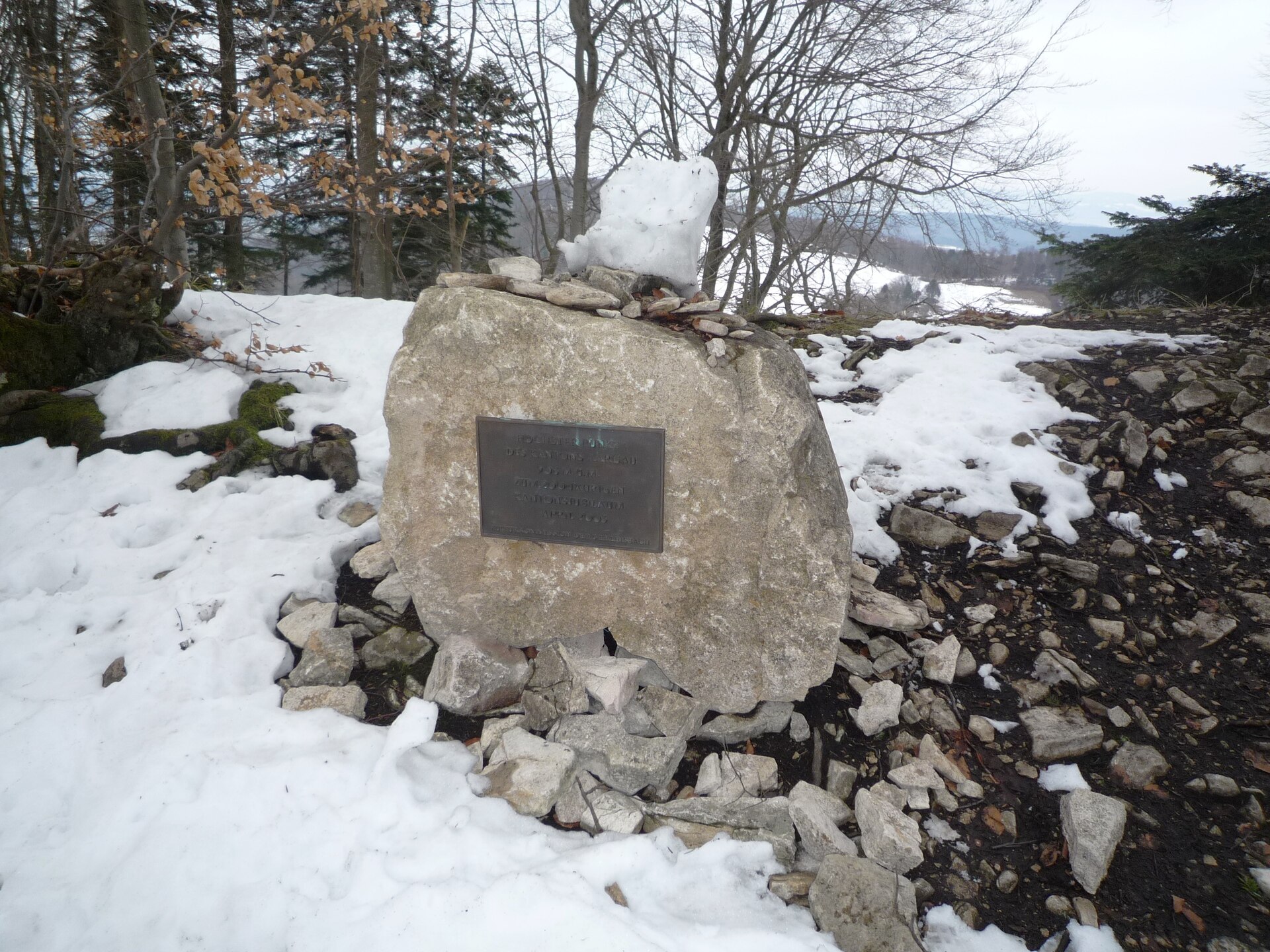
The summit itself is wooded, so it offers no real viewpoint. What you get is a sign reading "Highest point of the canton of Basel-Landschaft", unveiled in 2008; an older summit marker nearby still shows an outdated height. For the scenery, walk on to Chellenchöpfli, which looks out over the Guldental and, in clear weather, toward the Alps. The summit stands 165 m above the Hintere Wasserfallen saddle, which makes it a gentle goal for a day hike rather than a demanding ascent.
When should you go?
The area is walkable for much of the year. Summer and early autumn suit a longer ridge walk toward Passwang and down to Ramiswil, with a stop at Chellenchöpfli for the views. In winter the paths can hold snow, so proper footwear matters. Mornings tend to be quieter, and since the stretch from the cable car to the summit is short, it pays to combine the top with a longer route.
Frequently asked questions
How high is Hinteri Egg? About 1,168-1,169 m above sea level; sources differ by a metre. It is the highest point of Basel-Landschaft.
Is there a view from the summit? No, the top is forested. Chellenchöpfli (1,157 m) next door has the wide outlook over the Guldental and toward the Alps.
What is the easiest way up? Take the Wasserfallen cable car from Reigoldswil to its top station, then follow the ridge trails.
Why are there two spellings? "Hinteri Egg" was used until 2011; Swisstopo has written "Hinderi Egg" since 2012.
Nearby places

Earn badges for the places you visit
Download NextOnTrip, discover new places and check off your trails.