Save this place and discover nearby attractions with NextOnTrip
In the app you can add it to your favorites, see what else is worth visiting nearby on the map, and earn a badge for your visit.
The app is available for iPhone and Android.
About this place
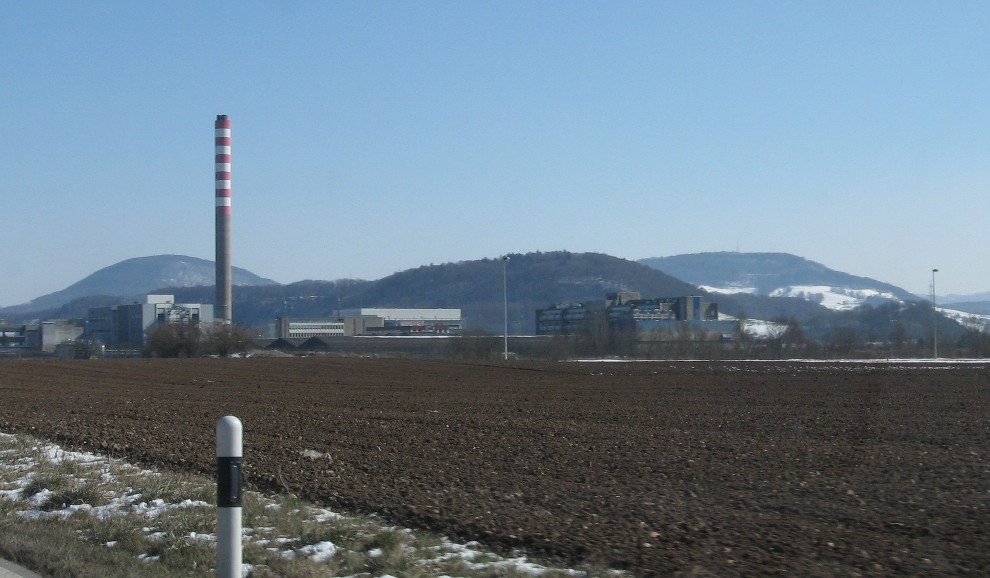
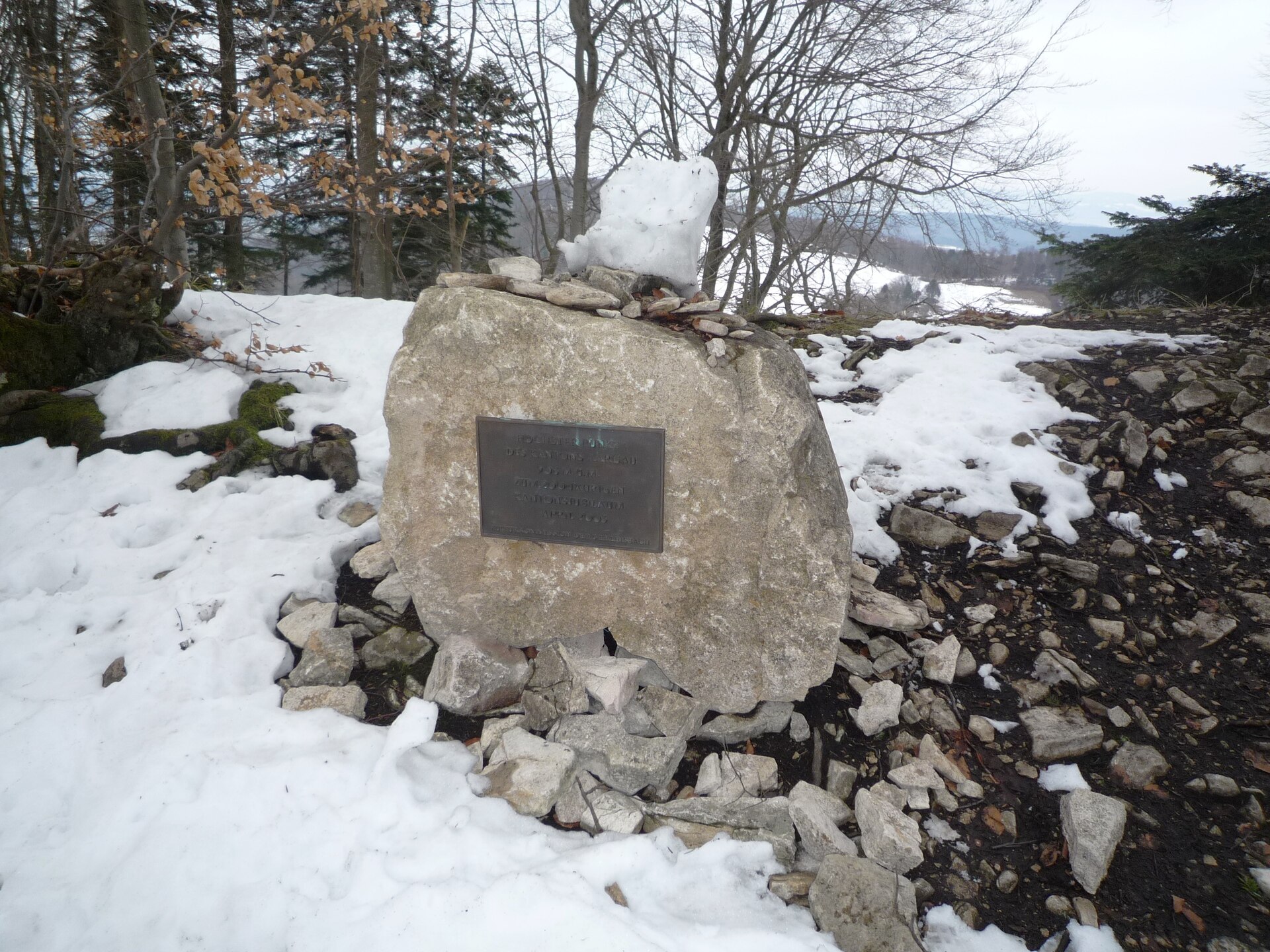
Geissberg is a forested hill in the Aargau Jura, above the municipality of Remigen in northern Switzerland's canton of Aargau. Its highest point sits at roughly 700 m above sea level, and it belongs to the Tafeljura (Table Jura). It makes a solid half-day walking goal between the Aare and the Rhine.
Where is Geissberg?
Remigen, in the Brugg district, only reaches the steep southern flank of the hill. The broad summit plateau, at around 610 m, falls under neighbouring Villigen. The sun-facing southern slope is good enough for vineyards. The whole area lies within the Aargau Jura Park, which covers about 241 square kilometres.
What is there to see?
Woods cover the plateau, and the landscape's signature feature is the Chamere cliff, a rock face roughly 200 m wide. A lookout on top gives views across the surrounding Jura ridges. Local sources call the Remigen Geissberg the highest point in the region, so a clear day pays off. The hill also lent its name to a geological unit of the Jura, the Geissberg Member.
How do you get there?
The lookout is reachable on foot only. The shortest approach starts at the Bürersteig pass, where you will find parking and a bus stop. The climb takes about 20 minutes and is fairly steep.
For a longer day, a loop from Mönthal over the Geissberg to the Besserstein castle ruins covers about 12.6 km with around 480 m of ascent, in roughly four hours at moderate difficulty. Another route runs from Koblenz via Mandach and Geissberg to Villigen, but that is close to six hours of walking.
When should you go?
Pick a day with good visibility. Summer and early autumn are comfortable for forest walking, and the vineyard slope looks its best in early autumn. Wear dry hiking shoes for the steep ascent from Bürersteig.
Frequently asked questions
How high is Geissberg? The top reaches about 700 m above sea level.
Can I drive up to the viewpoint? No, the lookout is on foot only. You can drive to the Bürersteig pass and walk the remaining 20 minutes.
How long is the loop from Mönthal? About four hours for 12.6 km and 480 m of climbing. It also passes the Besserstein castle ruins.
Is there public transport? There is a bus stop at the Bürersteig pass, so a public-transport start is possible. Check the current timetable before you go.
Nearby places

Earn badges for the places you visit
Download NextOnTrip, discover new places and check off your trails.