About this place
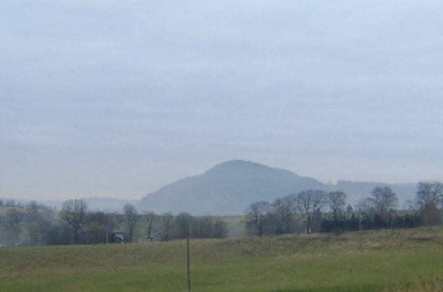
Czarna is a modest but distinctive summit in the Dworki district, sitting right on the Polish-Czech border in the Central Sudetes. It rises to 723 metres above sea level within the Góry Suche (Dry Mountains), in the eastern part of the Słoneczna Kopa massif, itself part of the wider Góry Kamienne (Stone Mountains) range. Its position on the frontier is more than symbolic — the actual state boundary line runs directly across the summit.
Where is Czarna and how do you get there
The mountain lies south of the village of Świerki and northwest of Dworki, making it a realistic target for a short walk from either settlement. A green-marked hiking trail crosses the summit, running along the border between Tłumaczów and the Okraj Pass (Przełęcz Okraj) — the most straightforward way to reach the top on foot, usually as part of a longer border ridge walk rather than a standalone hike.
What is the mountain made of
The massif consists of Permian extrusive volcanic rock — melaphyre (trachybasalt) — a composition shared with much of the Góry Suche range, which owes its jagged, cone-like profile to this same volcanic origin. A quarry operates on the eastern slope, extracting this stone commercially. The industrial scar of the quarry sits in visible contrast to the quiet, semi-rural landscape spreading out at the mountain's base.
Does Czarna look different on each side of the border
Yes, and the change is obvious to anyone walking the trail straight over the top. The Czech-facing slope is covered in spruce forest typical of the lower montane zone — dense, shaded, and closed-canopy. The Polish side tells a different story: small copses interspersed with fields, meadows, and patches of waste ground. The contrast reflects diverging land-use histories on either side of a border that has shifted administrations more than once, and crossing the summit amounts to a short lesson in cultural geography as much as a physical one.
Is the area under nature protection
The southwestern portion of the Czech-side slope falls within the Broumovsko Protected Landscape Area, one of the more ecologically significant regions along the Czech-Polish borderland, known for its sandstone rock formations and preserved woodland. Czarna's position on the edge of this protected zone makes it a natural jumping-off point for anyone planning to explore further into Broumovsko.
Where does the name come from
Historically the peak was also known by its German name, Schwarzekoppe, and its Czech name, Mez. Both older names, like the Polish "Czarna" (meaning "black"), reference the dark colour of the volcanic rock forming the mountain — a naming pattern that recurs across the Sudetes, where many summits take their names directly from the hue of the bedrock beneath them.
Who should hike here
Czarna is not a classic viewpoint summit, nor a destination most hikers would seek out on its own — its appeal lies in being a natural waypoint along a longer border route. It's worth building into a walk connecting Tłumaczów and the Okraj Pass, particularly for anyone interested in the region's geology (the melaphyre quarry) or in seeing the landscape contrast between the Czech and Polish flanks first-hand.
Frequently asked questions
How high is Czarna? The summit stands at 723 metres above sea level.
Where exactly is Czarna located? On the Polish-Czech border in the Central Sudetes, within the Góry Suche range, in the Dworki district, south of Świerki.
Is there a marked trail to the summit? Yes, a green border trail linking Tłumaczów and the Okraj Pass.
What rock is the mountain made of? Permian melaphyre (trachybasalt), quarried on the eastern slope.
Is any part of the area protected? Yes, the southwestern part of the Czech-side slope lies within the Broumovsko Protected Landscape Area.
Nearby places

Earn badges for the places you visit
Download NextOnTrip, discover new places and check off your trails.