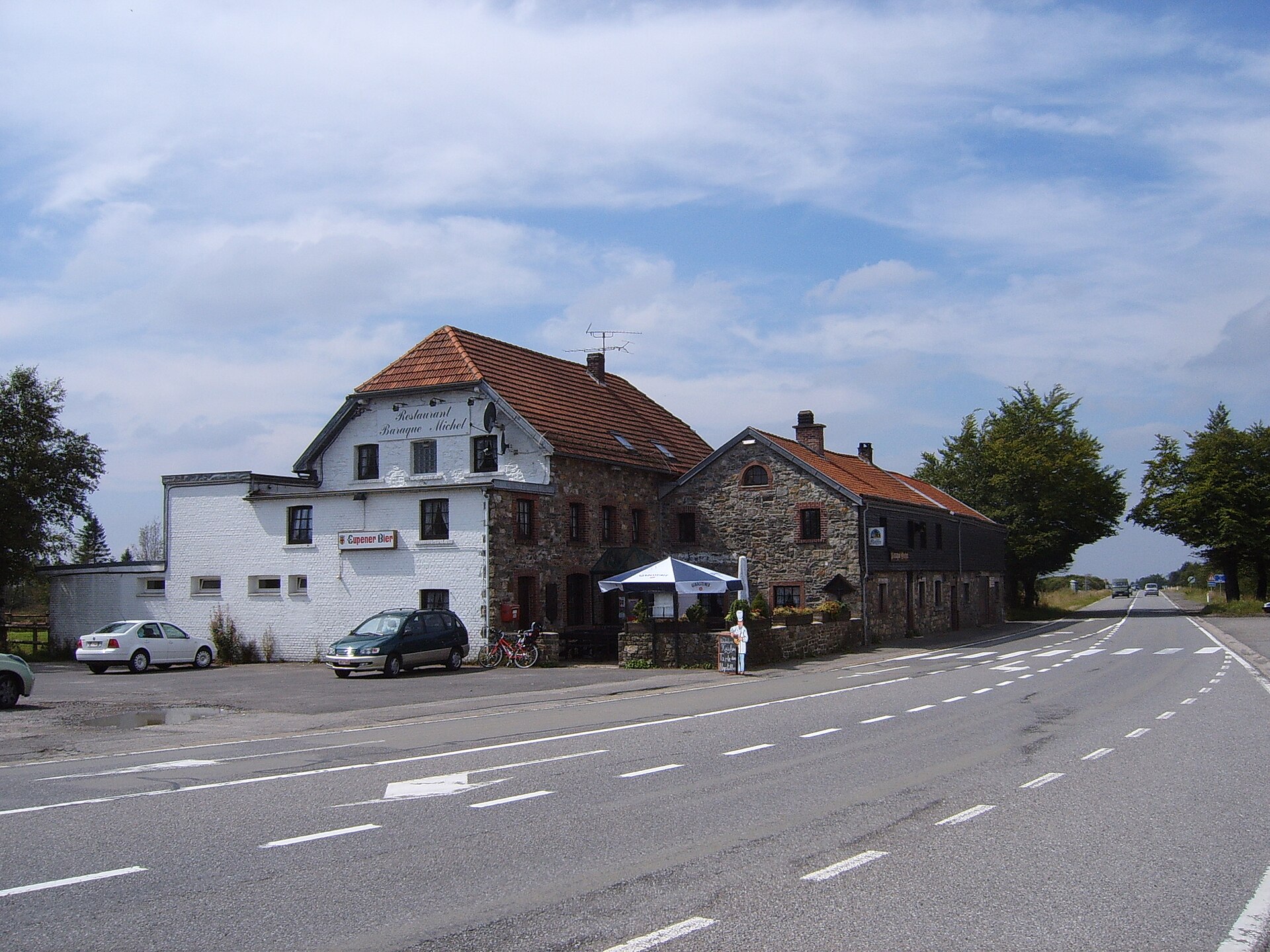
- Village
Baraque Michel
About this place
Baraque Michel is a locality in the municipality of Jalhay, sitting within the High Fens region of Wallonia, eastern Belgium. At 674 metres (2,211 ft) above sea level, it now ranks as the third-highest point in the country, following the nearby Signal de Botrange and the Weißer Stein.
Why does Baraque Michel matter historically?
The story of Baraque Michel is tied closely to shifts in Belgium's national borders. Before 1919 — before the annexation of the Eastern Cantons by Belgium — this was the highest point in the entire country. When the borders changed after the First World War and Belgium expanded eastward, the higher-lying terrain that included Signal de Botrange and Weißer Stein came under Belgian sovereignty, and those two locations took over as the country's highest points. Baraque Michel dropped to third place as a result, but it has retained its significance as a notable landmark within the region.
Where exactly is Baraque Michel located?
The locality lies within the municipality of Jalhay, in the heart of the High Fens — a plateau area of eastern Wallonia known for its elevated terrain. Its geographic coordinates are 50.518611 N, 6.0625 E, placing it in eastern Belgium, near the border with Germany.
What makes this elevation notable?
At 674 metres above sea level, Baraque Michel remains one of the highest points in Belgium overall. This elevation is precisely what gives the locality its lasting reference status on the country's topographic map, even though two other points in the High Fens now stand above it following the 1919 border changes.
Frequently asked questions
Is Baraque Michel still the highest point in Belgium? No. It currently ranks third, behind Signal de Botrange and Weißer Stein, both of which surpassed it after the 1919 border changes.
Which municipality is Baraque Michel part of? It belongs administratively to the municipality of Jalhay.
What is the exact elevation of Baraque Michel? 674 metres (2,211 feet) above sea level.
Why did it lose its status as the country's highest point? Because of a change in national borders — after 1919, when the Eastern Cantons were annexed by Belgium, higher-lying territory came under Belgian control, and those points took over the title.
In which geographic region is Baraque Michel situated? In the High Fens region of eastern Wallonia.
Nearby places

Earn badges for the places you visit
Download NextOnTrip, discover new places and check off your trails.